Moray Firth, Coastal inlet in northeastern Scotland
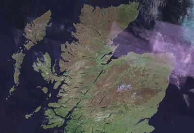
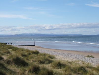
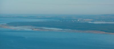
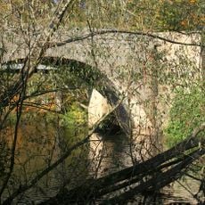
Moray Firth is a coastal inlet on Scotland's northeast coast, stretching between the Caithness peninsula and the Black Isle, marked by high cliffs, sandy beaches, and extensive dune formations. Several major rivers including the Spey and Ness flow into the firth, bringing fresh water into the salt water.
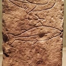
The region of Moray in the 10th century gave the inlet its name, recorded in various forms like Murro in historical texts. Coastal towns later grew as major ports for trade and fishing, activities that shaped the region's economy for centuries.
The firth holds deep meaning for fishing communities that have depended on these waters for centuries, with their boats and harbors still shaping daily life in coastal towns. Local people maintain strong connections to the sea through their work and traditions.
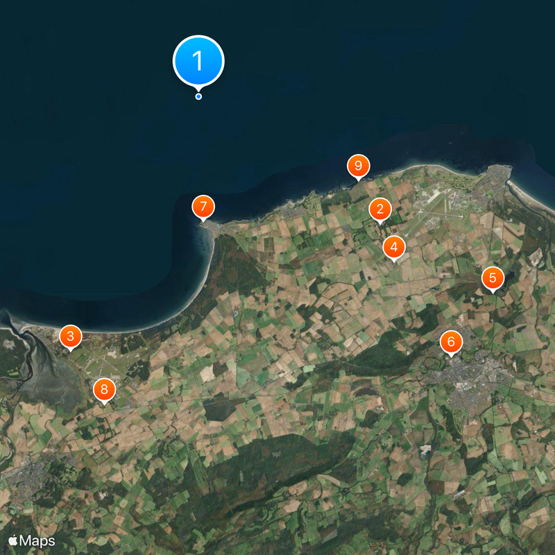
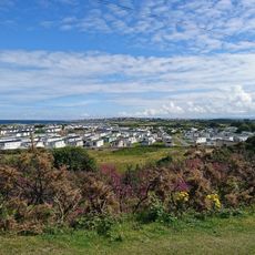
The firth is best explored from coastal towns like Inverness, Nairn, Lossiemouth, and Buckie, which serve as starting points for boat trips and wildlife watching. Visit between May and September when weather is more stable and marine life is most active.
The inner reaches of the firth resemble fjords with narrow, deep inlets such as the Cromarty Firth and Dornoch Firth that create sheltered waters. These waterways offer calmer conditions than the open coastline and reveal a different landscape.
The community of curious travelers
AroundUs brings together thousands of curated places, local tips, and hidden gems, enriched daily by 60,000 contributors worldwide.