St Agnes

Log in to your account

AroundUs is a community-driven map of interesting places, built by curious explorers like you. It grows with every review, story, and photo you share.
Connect to save your favorite spots, contribute locations, and create personalized routes.
Continue with Google
Continue with Apple
Continue with X
Continue with Facebook
Continue with email
By continuing, you accept our Terms and Conditions and our Privacy Policy
Create an account
Add to collection
Map
Suggest a change
Share

St Agnes, Island at the southernmost tip of the British Isles, United Kingdom.

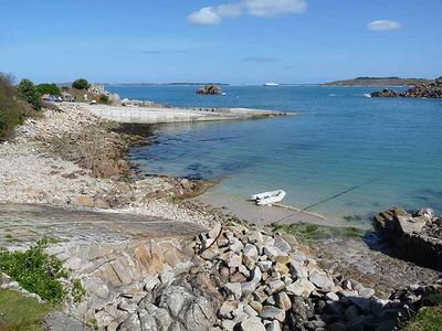
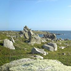
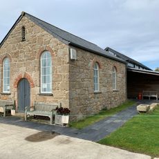
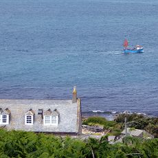
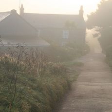
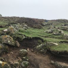
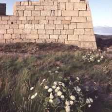
St. Agnes is an island at the southernmost tip of the British Isles covered by heathland called Wingletang Down. Several small settlements including Troy Town and Lower Town spread across the terrain, with a sandbar at low tide connecting to nearby Gugh island.

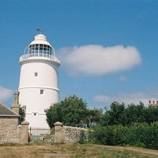
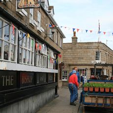
The island was long a center for pilots who guided ships through the English Channel, an important trade for local people. Over time the population declined sharply as traditional sea-based work faded away.

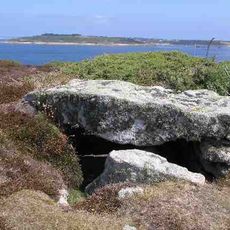
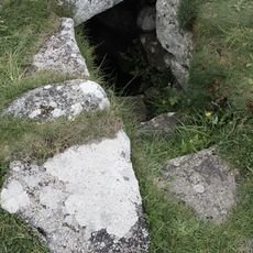
The Troy Town Maze made from beach pebbles shows a pattern possibly linked to ancient northern traditions. Visitors can explore this handcrafted work that has remained part of the landscape for centuries.

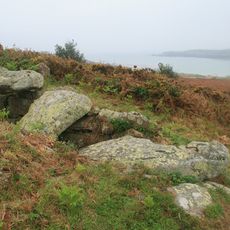
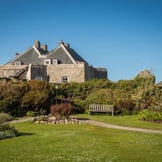
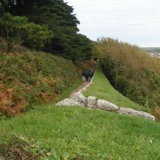
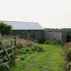
Visitors should check tide tables to time a trip to Gugh during low tide and safely cross the sandbar. Accommodation on the island comes in private rentals and small bed and breakfasts scattered across the settlements.

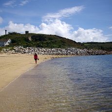
On the beaches, especially at Beady Pool, visitors can spot fragments of Venetian glass and ceramic beads. These come from a trading ship that sank off the coast several centuries ago and still releases treasures from its wreck.

Location: St. Agnes

Part of: Isles of Scilly

GPS coordinates: 49.89100,-6.34300

Latest update: December 7, 2025 19:24

Photos
Around this place
Star Castle
United Kingdom

Star Castle

3.1 km
Peninnis Lighthouse
United Kingdom

Peninnis Lighthouse

3.2 km
St Agnes' Church
United Kingdom

St Agnes' Church

546 m
Wingletang Down
United Kingdom

Wingletang Down

363 m
St Agnes Lighthouse
United Kingdom

St Agnes Lighthouse

241 m
Garrison Tower
United Kingdom

Garrison Tower

2.8 km
Obadiah's Barrow
United Kingdom

Obadiah's Barrow

778 m
Bible Christian Chapel, St Agnes
United Kingdom

Bible Christian Chapel, St Agnes

473 m
Old Man of Gugh
United Kingdom

Old Man of Gugh

981 m
Former Wesleyan Methodist Chapel
United Kingdom

Former Wesleyan Methodist Chapel

3.2 km
Star Castle
United Kingdom

Star Castle

3.1 km
Late 19th-early 20th century Woolpack Battery on The Garrison, St Mary's
United Kingdom

Late 19th-early 20th century Woolpack Battery on The Garrison, St Mary's

2.7 km
The Bishop And Wolf Public House
United Kingdom

The Bishop And Wolf Public House

3.2 km
Porthcressa Beach
United Kingdom

Porthcressa Beach

3.2 km
St Agnes WWI Memorial Cross, Isles of Scilly
United Kingdom

St Agnes WWI Memorial Cross, Isles of Scilly

508 m
Newman House
United Kingdom

Newman House

3.3 km
K6 Telephone Kiosk
United Kingdom

K6 Telephone Kiosk

156 m
Post-medieval breastwork, curtain wall and associated defensive structures on the periphery of The Garrison, St Mary's
United Kingdom

Post-medieval breastwork, curtain wall and associated defensive structures on the periphery of The Garrison, St Mary's

2.7 km
Two early post-medieval quays in north and north western Periglis, St Agnes
United Kingdom

Two early post-medieval quays in north and north western Periglis, St Agnes

759 m
Prehistoric linear boundary on Dropnose Point, Gugh
United Kingdom

Prehistoric linear boundary on Dropnose Point, Gugh

1.1 km
The Old Man prehistoric standing stone, Gugh
United Kingdom

The Old Man prehistoric standing stone, Gugh

982 m
Nineteenth century gig-shed north east of Porth Askin
United Kingdom

Nineteenth century gig-shed north east of Porth Askin

595 m
Prehistoric cairns, entrance graves, field system and settlements and post-medieval kelp pits on Kittern Hill, Gugh
United Kingdom

Prehistoric cairns, entrance graves, field system and settlements and post-medieval kelp pits on Kittern Hill, Gugh

875 m
Building To South East Of The Lighthouse
United Kingdom

Building To South East Of The Lighthouse

212 m
Outbuilding At Sv 8831 0819
United Kingdom

Outbuilding At Sv 8831 0819

215 m
Woolpack Battery
United Kingdom

Woolpack Battery

2.5 km
St Warna's Well, St Agnes
United Kingdom

St Warna's Well, St Agnes

279 m
Prehistoric field system, settlement and cairn east of Barnaby Lane, St Agnes
United Kingdom

Prehistoric field system, settlement and cairn east of Barnaby Lane, St Agnes

211 m
Show the full map
Reviews

Visited this place? Tap the stars to rate it and share your experience / photos with the community! Try now! You can cancel it anytime.

« St Agnes - Island at the southernmost tip of the British Isles, United Kingdom » is provided by Around Us (aroundus.com). Images and texts are derived from Wikimedia project under a Creative Commons license. You are allowed to copy, distribute, and modify copies of this page, under the conditions set by the license, as long as this note is clearly visible.

Discover hidden gems everywhere you go!

From secret cafés to breathtaking viewpoints, skip the crowded tourist spots and find places that match your style. Our app makes it easy with voice search, smart filtering, route optimization, and insider tips from travelers worldwide. Download now for the complete mobile experience.

Around Us App Screenshot

A unique approach to discovering new places

Le Figaro

All the places worth exploring

France Info

A tailor-made excursion in just a few clicks

20 Minutes