Horwich, Railway town in Greater Manchester, England
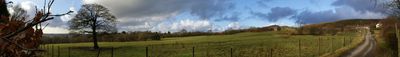
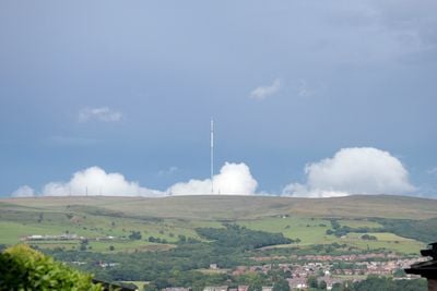
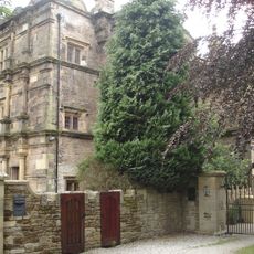
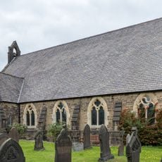
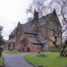
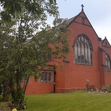
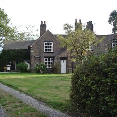
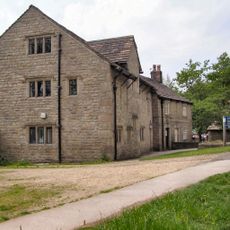
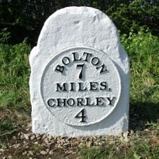
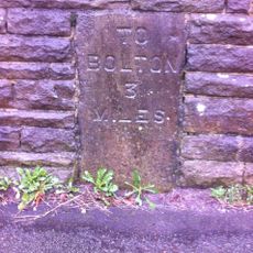
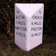
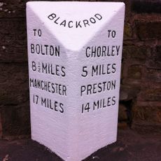
Horwich is a town located between Bolton and Chorley in northwest England, spanning an area of around 1,254 acres. The settlement is built across rolling terrain with residential neighborhoods, local shops, and green spaces interspersed throughout the landscape.
A locomotive factory opened in 1884, transforming the settlement from a farming community into an industrial center that grew rapidly. The factory became the area's main employer for many decades and shaped how the place developed.
Children gather and decorate eggs in the days before Easter, a local tradition that brings families together and reflects the community's connection to seasonal celebrations. This custom remains an important part of how residents mark the spring season.
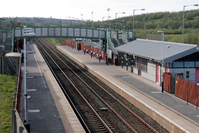
The town is accessible by train through Horwich Parkway station and by multiple bus routes, with direct motorway access nearby. The layout is straightforward to navigate, with shops and facilities clustered in the town center.
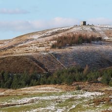
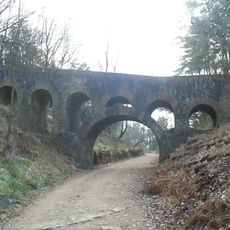
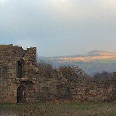
The medieval forest that once covered this area was home to wolves and served as hunting grounds for early kings before being cleared in the 16th century. Few traces of this wild past remain visible today except through local history records and place names.
The community of curious travelers
AroundUs brings together thousands of curated places, local tips, and hidden gems, enriched daily by 60,000 contributors worldwide.