Enable Location

We need your location to show you interesting places around you

Discover nearby places

Find interesting locations and hidden gems around you

Precise directions

Get accurate directions and distances to places

Your location is never shared with other users. It's only used when you tap the location button.

Lower Rivington Reservoir

Log in to your account

Start exploring — it's free

Trusted by 62,430 travelers worldwide

Continue with Google
Continue with Apple
or

We will send you a code to connect

By continuing, you accept our Terms and Conditions and our Privacy Policy

Check your inbox

We've sent a pincode in your inbox. Please enter the code below.

Lower Rivington Reservoir

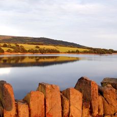
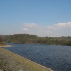
Lower Rivington Reservoir, lake in the United Kingdom

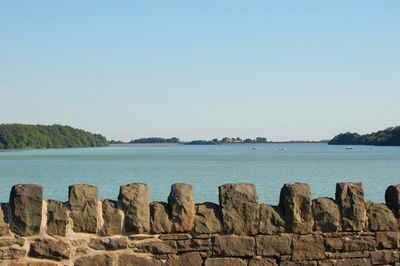
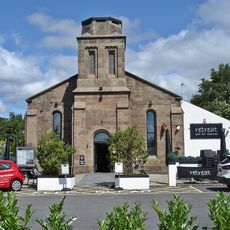
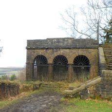
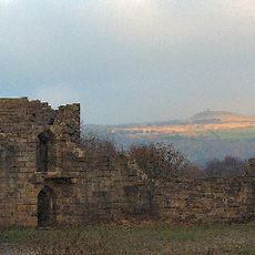
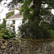
Lower Rivington Reservoir is a lake in the Rivington area, lying to the south, and forms part of a chain of water storage sites. The water is ringed by footpaths, especially on the eastern side where a decorative castle and a water sports center with boat rental are located.

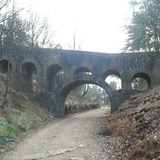
The reservoir was built in the mid-1800s to supply water to Liverpool and improve public health. Water from Rivington first reached Liverpool in 1857, marking an important advance in water technology and regional supply.

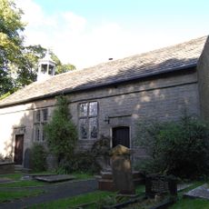
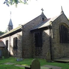
The name Anderton comes from Anglo-Saxon roots meaning "village by the river". Today, the area is shaped by people who fish, walk, and boat here, activities that have been part of local life for generations.

The area is most easily reached by car, with several parking lots on the eastern side near the water. Visitors should plan for walking and exploring, and use the available signs and information boards to learn more about history and wildlife.

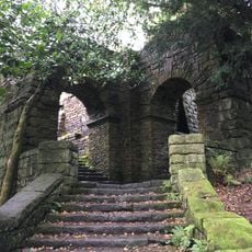
Beneath the water lie various rocks and limestone fossils that tell stories of the area's distant natural past. These geological features draw scientists and curious visitors who enjoy seeking out hidden details.

The community of curious travelers

AroundUs brings together thousands of curated places, local tips, and hidden gems, enriched daily by 60,000 contributors worldwide.

Start exploring
Location
Location
Part of
Rivington Reservoirs
GPS coordinates
53.61583,-2.56722
Latest update
February 9, 2026 08:22
Around this place
Rivington Pike
United Kingdom

Rivington Pike

1.8 km
Rivington Hall
United Kingdom

Rivington Hall

1.3 km
Rivington Hall Barn
United Kingdom

Rivington Hall Barn

1.3 km
Holy Trinity Church, Horwich
United Kingdom

Holy Trinity Church, Horwich

2.6 km
Rivington Unitarian Chapel
United Kingdom

Rivington Unitarian Chapel

1.1 km
Rivington Church
United Kingdom

Rivington Church

1 km
St Paul's Church, Adlington
United Kingdom

St Paul's Church, Adlington

2.2 km
Yarrow Reservoir
United Kingdom

Yarrow Reservoir

2.3 km
Upper Rivington Reservoir
United Kingdom

Upper Rivington Reservoir

1.5 km
Christ Church, Adlington
United Kingdom

Christ Church, Adlington

2.5 km
Church of St Catherine
United Kingdom

Church of St Catherine

2.2 km
Two Archways And Associated Stone Staircases And Retaining Walls In Rivington Gardens At Sd 6390 1422
United Kingdom

Two Archways And Associated Stone Staircases And Retaining Walls In Rivington Gardens At Sd 6390 1422

1.6 km
Lever Bridge, Staircases And A Summer House In Rivington Gardens At Sd 6384 1422
United Kingdom

Lever Bridge, Staircases And A Summer House In Rivington Gardens At Sd 6384 1422

1.5 km
Loggia, Summerhouse And Associated Staircases In Rivington Gardens At Sd 6392 1431
United Kingdom

Loggia, Summerhouse And Associated Staircases In Rivington Gardens At Sd 6392 1431

1.6 km
Wilcocks Farmhouse
United Kingdom

Wilcocks Farmhouse

2.3 km
Pigeon Tower, Staircases, Stone Arches, Stone Screen And Two Gate Piers In Rivington Gardens At Sd 6397 1433
United Kingdom

Pigeon Tower, Staircases, Stone Arches, Stone Screen And Two Gate Piers In Rivington Gardens At Sd 6397 1433

1.7 km
Headless Cross
United Kingdom

Headless Cross

783 m
Rivington Pike Tower At Sd 642 137
United Kingdom

Rivington Pike Tower At Sd 642 137

1.8 km
Rivington Castle
United Kingdom

Rivington Castle

462 m
Adlington And District War Memorial
United Kingdom

Adlington And District War Memorial

2.2 km
War Memorial at Former Horwich Locomotive Works
United Kingdom

War Memorial at Former Horwich Locomotive Works

2.6 km
Bellhouse Circa 10 Metres West Of Church Of Holy Trinity
United Kingdom

Bellhouse Circa 10 Metres West Of Church Of Holy Trinity

1.1 km
Mounting Block In School Yard Circa 15 Metres West Of Rivington School
United Kingdom

Mounting Block In School Yard Circa 15 Metres West Of Rivington School

950 m
Fisher House
United Kingdom

Fisher House

1.1 km
Great House Farmhouse And Cottage
United Kingdom

Great House Farmhouse And Cottage

555 m
Moses Cocker's Farmhouse
United Kingdom

Moses Cocker's Farmhouse

2.2 km
Milestone, Grimeford
United Kingdom

Milestone, Grimeford

818 m
Milestone, Chorley Road
United Kingdom

Milestone, Chorley Road

2.3 km
Show the full map
« Lower Rivington Reservoir - lake in the United Kingdom » is provided by Around Us (aroundus.com). Images and texts are derived from Wikimedia project under a Creative Commons license. You are allowed to copy, distribute, and modify copies of this page, under the conditions set by the license, as long as this note is clearly visible.

Discover hidden gems everywhere you go!

From secret cafés to breathtaking viewpoints, skip the crowded tourist spots and find places that match your style. Our app makes it easy with voice search, smart filtering, route optimization, and insider tips from travelers worldwide. Download now for the complete mobile experience.

Around Us App Screenshot

A unique approach to discovering new places

Le Figaro

All the places worth exploring

France Info

A tailor-made excursion in just a few clicks

20 Minutes

Around Us
Travel Guide & Maps
Download

Send to your phone

QR Code
1

Open the camera app on your mobile.

2

Point at the QR code with your camera. A notification will appear.

3

Tap the notification to open the link.