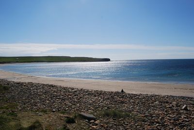
Bay of Skaill, Sandy bay near Sandwick, Orkney Islands, Scotland
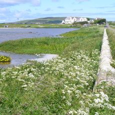
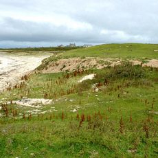
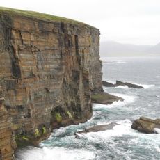
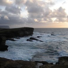
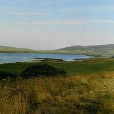
Bay of Skaill is a broad sandy beach on the western shore of Mainland Orkney that opens onto the Atlantic Ocean. Rocky cliffs frame the northern end while the southern section slopes gently to the water, with boulders creating a natural transition zone along the shoreline.
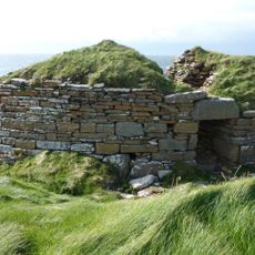
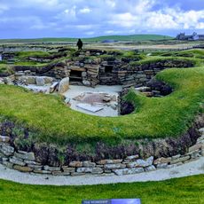
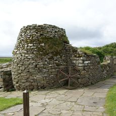
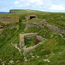
The bay gained attention in 1858 when a boy discovered one of Scotland's largest Viking silver hoards near Muckle Brae. This finding revealed the historical ties between these islands and Scandinavia during medieval times.
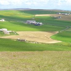
This bay draws people throughout the year for swimming, fishing, and surfing, reflecting how locals use the water and shoreline as part of their daily lives. The beach serves as a natural gathering point where these activities continue across different seasons.
A parking area near the beach provides convenient access along with public facilities in the vicinity. Wear appropriate footwear to navigate the boulders safely when moving from the parking area to the sand.
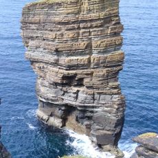
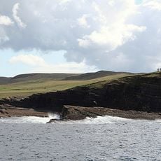
The Hole o'Rowe sits on the northern cliffs and is a hollow carved by ocean waves over many years. This natural cavity shows how constant sea action shapes the rocky landscape here.
Location: Orkney Islands
Part of: Atlantic Ocean
GPS coordinates: 59.05333,-3.33722
Latest update: December 11, 2025 11:07
Skara Brae
576 m
Ring of Brodgar
8.4 km
Skaill House
639 m
Loch of Harray
7 km
North Gaulton Castle
6.1 km
Broch of Borwick
2.7 km
Birsay, Cleatfurrows, St Magnus' Church
8.6 km
Skara Brae Visitor Centre
502 m
Wheebin standing stone
7.3 km
Sandwick, St Peter's Kirk
622 m
Stane o’Quoybune
7.2 km
Kirbuster Farm Museum
7.9 km
Kitchener Memorial, Marwick Head
6 km
Skaill House, Dovecot
702 m
Bridge, Birsay
8.5 km
Sandwick, St Peter's Kirk, Stable
636 m
Saevar Howe, mound 370m SSW of Linkshouse
7.8 km
Burrian,broch W shore of Loch of Harray
6.7 km
Mill Of Rango, Sandwick
3.3 km
Kaellan Helliar
4.1 km
Black Craig
8 km
Mainland, Yesnaby, Brough of Bigging
3.8 km
Brodgar RSPB Reserve
8.3 km
West Aith
2.1 km
Buckan, enclosure 150m N of
6.8 km
Sand Geo, fishing station 240m WSW of West Howe
4.3 km
Twatt Airfield (former Hms Tern), Combined Control Tower And Operations Block
4.6 km
Mill, Lingmira Farm
8.5 kmVisited this place? Tap the stars to rate it and share your experience / photos with the community! Try now! You can cancel it anytime.
Discover hidden gems everywhere you go!
From secret cafés to breathtaking viewpoints, skip the crowded tourist spots and find places that match your style. Our app makes it easy with voice search, smart filtering, route optimization, and insider tips from travelers worldwide. Download now for the complete mobile experience.
A unique approach to discovering new places❞
— Le Figaro
All the places worth exploring❞
— France Info
A tailor-made excursion in just a few clicks❞
— 20 Minutes