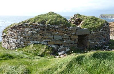
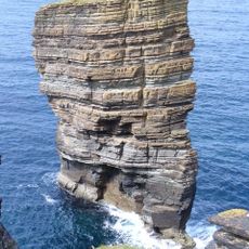
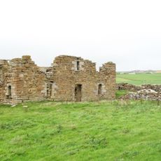
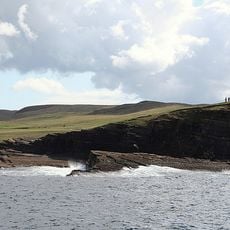
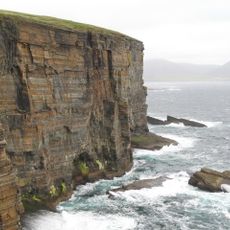
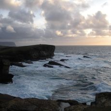
Broch of Borwick, Iron Age broch on cliffs in Sandwick, Scotland
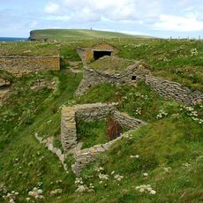
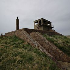
The Broch of Borwick is a stone-built circular tower on a coastal cliff in Orkney with walls still rising about 2.6 meters high. The structure features a narrow entrance passage with stone door-checks and guard chambers built into the thick stone walls, with an internal diameter of about 8 meters at the base.
This defensive structure dates to the Iron Age, roughly 2500 years ago, and was built as a fortification on the rocky promontory. The thick walls and concealed entrance show that defense was central to the original design.
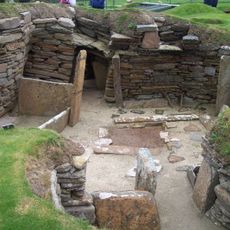
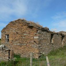
The site holds signs of everyday crafts and activities through objects like bone combs and game pieces left behind by former inhabitants. These items show what people valued and used in their daily routines.
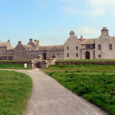
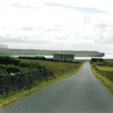
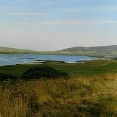
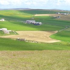
The site sits on a clifftop and is reached by a narrow track from the Yesnaby car park, located about 8 kilometers southwest of Dounby. Access is limited and the exposed clifftop can be slippery and windy in poor weather, so sturdy shoes and caution are needed.
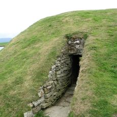
The structure has a concealed entrance hidden behind a large earthen bank, which visitors often overlook as it is not immediately obvious. Below the clifftop sits a cave system that connects to the site, adding another layer to the strategic location.
The community of curious travelers
AroundUs brings together thousands of curated places, local tips, and hidden gems, enriched daily by 60,000 contributors worldwide.