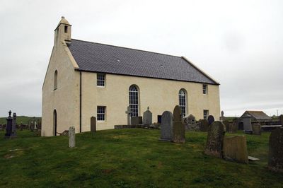
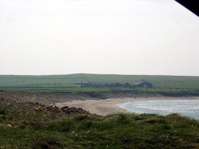
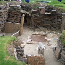
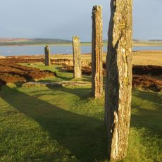
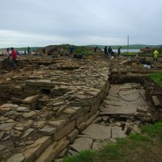
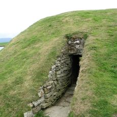
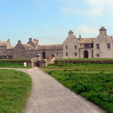
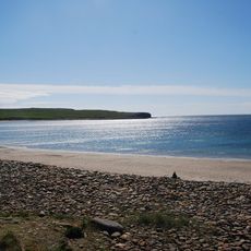
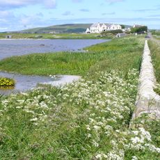
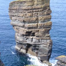
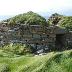
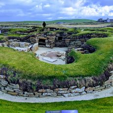
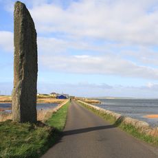
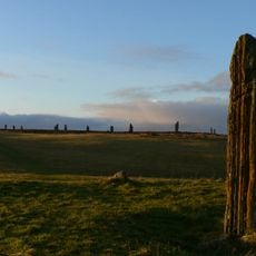
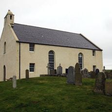
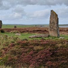
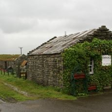
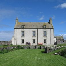
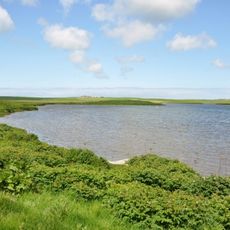
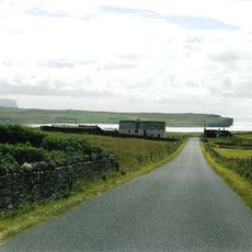
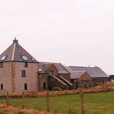
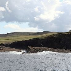
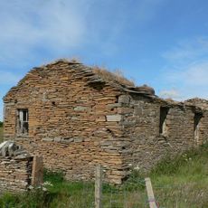
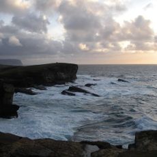
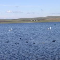
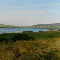
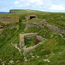
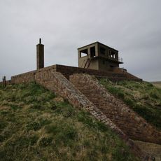
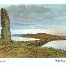
Sandwick, parish on Orkney, Scotland
Location: Orkney Islands
Shares border with: Stenness, Stromness, Birsay and Harray
GPS coordinates: 59.04564,-3.29840
Latest update: March 6, 2025 04:05
Skara Brae
2.5 km
Ring of Brodgar
6.3 km
Ness of Brodgar
7.2 km
Unstan Chambered Cairn
7.3 km
Skaill House
2.2 km
Bay of Skaill
2.4 km
Loch of Harray
4.6 km
North Gaulton Castle
6.3 km
Broch of Borwick
3.6 km
Skara Brae Visitor Centre
2.2 km
Watch Stone
7.6 km
Comet Stone
6.4 km
Sandwick, St Peter's Kirk
2.6 km
Ness of Brodgar
7.2 km
Corrigall Farm Museum
6.9 km
Skaill House, Dovecot
2.1 km
Knowe of Onston,or Unstan,chambered cairn
7.1 km
Burrian,broch W shore of Loch of Harray
4.4 km
Sandwick, St Peter's Kirk, Stable
2.6 km
Mill Of Rango, Sandwick
940 m
Kaellan Helliar
4.4 km
West Aith
996 m
Mainland, Yesnaby, Brough of Bigging
4.5 km
Brodgar RSPB Reserve
6.1 km
Buckan, enclosure 150m N of
4.6 km
Sand Geo, fishing station 240m WSW of West Howe
5.8 km
Twatt Airfield (former Hms Tern), Combined Control Tower And Operations Block
4.6 km
Bridge of Brodgar
7.5 kmReviews
Visited this place? Tap the stars to rate it and share your experience / photos with the community! Try now! You can cancel it anytime.
Discover hidden gems everywhere you go!
From secret cafés to breathtaking viewpoints, skip the crowded tourist spots and find places that match your style. Our app makes it easy with voice search, smart filtering, route optimization, and insider tips from travelers worldwide. Download now for the complete mobile experience.
A unique approach to discovering new places❞
— Le Figaro
All the places worth exploring❞
— France Info
A tailor-made excursion in just a few clicks❞
— 20 Minutes