
Chelwood, village and civil parish in Somerset, UK
Location: Bath and North East Somerset
GPS coordinates: 51.35490,-2.52490
Latest update: March 10, 2025 15:47

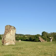
Stanton Drew stone circles
3.8 km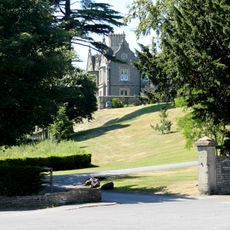
Cholwell House
3.6 km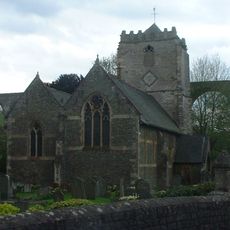
St Thomas à Becket Church, Pensford
2.5 km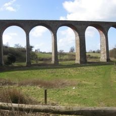
Pensford Viaduct
2.6 km
Folly Farm, Somerset
3.2 km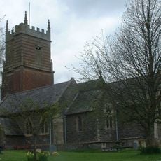
Church of St Augustine, Clutton
3.2 km
Church of All Saints, Publow
2.6 km
Church of St Mary the Virgin, Stanton Drew
4 km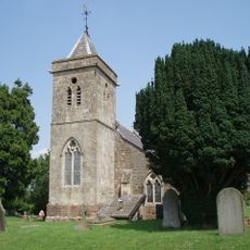
Church of St Leonard, Chelwood
892 m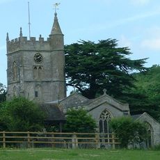
Church of St Mary
2.9 km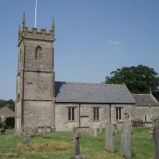
Church of All Saints, Farmborough
2.9 km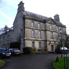
The Court
4 km
Bridge Over The River Chew
2.5 km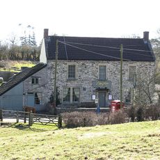
The Gamekeeper Public House
2.9 km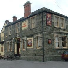
Railway Hotel
2.8 km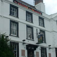
George And Dragon Public House
2.4 km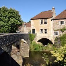
Bridge House
2.5 km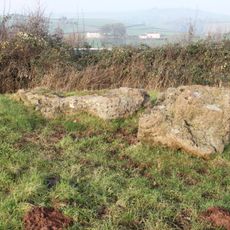
Large irregular stone circle at Stanton Drew south east of Church Farm
3.8 km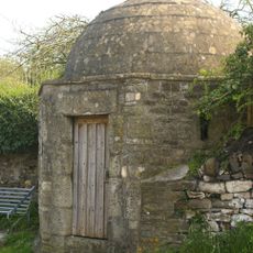
Round House
2.4 km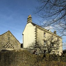
Conygre House
2.5 km
Hunstrete House, Flank Wall And West Wing
1.2 km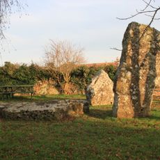
Stone cove at Stanton Drew 25m south west of St Mary's Church
4 km
Arcade About 200 Metres North West Of Hunstrete House
1.1 km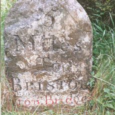
Milestone At National Grid Reference St 6169 6506
3.7 km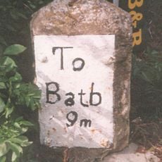
Milestone, Bath Road, Farmborough village, jct with Hunstrete Road
2.6 km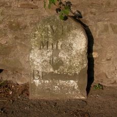
Milestone, New Road, Pensford
2.3 km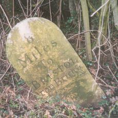
Milestone, Red Hill, N of Clutton
1.7 km
Milestone, Clutton opp. Warwick Arms
3 kmVisited this place? Tap the stars to rate it and share your experience / photos with the community! Try now! You can cancel it anytime.
Discover hidden gems everywhere you go!
From secret cafés to breathtaking viewpoints, skip the crowded tourist spots and find places that match your style. Our app makes it easy with voice search, smart filtering, route optimization, and insider tips from travelers worldwide. Download now for the complete mobile experience.

A unique approach to discovering new places❞
— Le Figaro
All the places worth exploring❞
— France Info
A tailor-made excursion in just a few clicks❞
— 20 Minutes