
Poulton-with-Fearnhead, civil parish in Warrington, Cheshire, England
Location: Warrington
Shares border with: Croft
GPS coordinates: 53.41200,-2.55800
Latest update: March 9, 2025 13:50
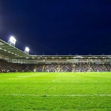
Halliwell Jones Stadium
3.1 km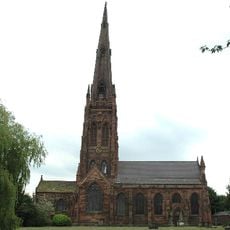
St Elphin's Church, Warrington
2.8 km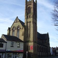
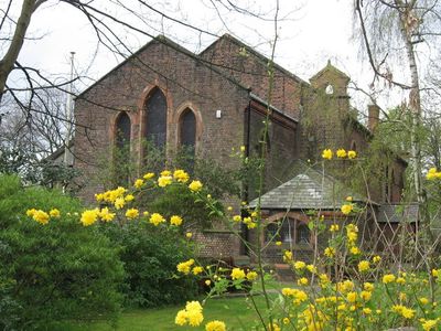
St Mary's Church, Warrington
3.2 km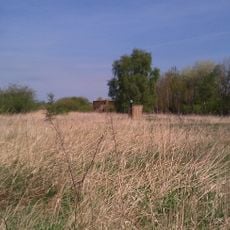
Woolston Eyes
3.6 km
Holy Trinity Church, Warrington
3.4 km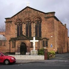
St Alban's Church, Warrington
3.3 km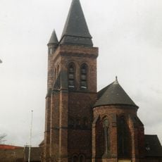
Old St Ann's Church, Warrington
3 km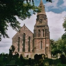
Christ Church, Croft
3 km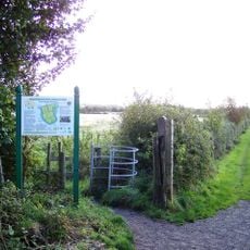
Paddington Meadows
2.6 km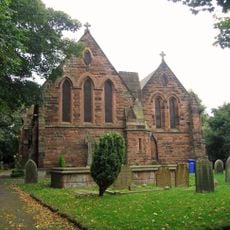
All Saints Church, Thelwall
3.9 km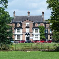
Chaigeley School
4 km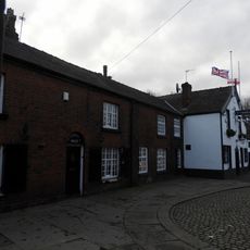
131 (Now Part Of Ring O' Bells) And 133 (Church House)
2.8 km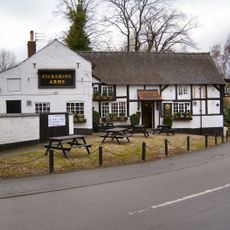
Pickering Arms Inn
3.9 km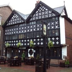
Ye Olde Barley Mow Public House (excluding the side facade)
3.4 km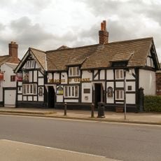
Marquis of Granby Public House and Sykes Shoe Repairs
3 km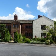
Thelwall Old Hall
3.8 km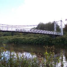
Howley Footbridge
3.1 km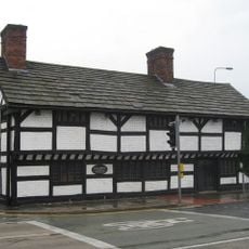
Cromwell House
2.9 km
Former Fish Market
3.5 km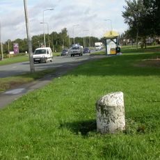
Milestone, Winwick Road, 100m after Poplars Avenue junction
2.8 km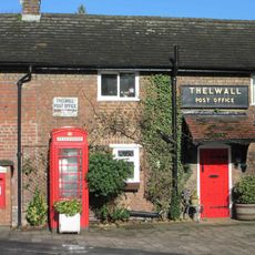
K6 telephone kiosk outside Thelwall Post Office
3.8 km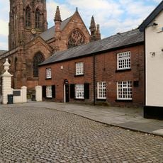
Gateway to Church of St Elphin
2.8 km
Cobbles at entrance to St Elphin's, and pavement
2.8 km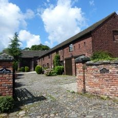
Old Village Farm, former barn and attached shippon
3.8 km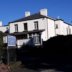
The Church of St Peter
3 km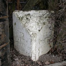
Milestone Outside 90 Fearnhead Lane
749 m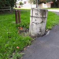
Milestone
2.8 km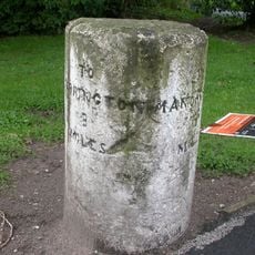
Milestone, Manchester Road
2.8 kmReviews
Visited this place? Tap the stars to rate it and share your experience / photos with the community! Try now! You can cancel it anytime.
Discover hidden gems everywhere you go!
From secret cafés to breathtaking viewpoints, skip the crowded tourist spots and find places that match your style. Our app makes it easy with voice search, smart filtering, route optimization, and insider tips from travelers worldwide. Download now for the complete mobile experience.

A unique approach to discovering new places❞
— Le Figaro
All the places worth exploring❞
— France Info
A tailor-made excursion in just a few clicks❞
— 20 Minutes