Aldgate, Administrative ward in City of London, England
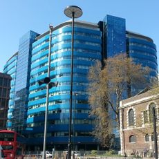
Aldgate is an administrative ward in the City of London that spreads from the former eastern city gate across streets like Aldgate High Street and Fenchurch Street. The boundaries were redrawn in 2013 to include areas beyond the original wall and to connect better with surrounding neighborhoods.
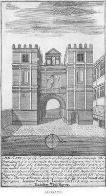
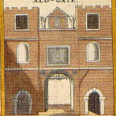
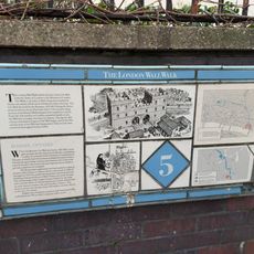
The name comes from the eastern gate in London's defensive wall, first recorded in 1052 as Æst geat and serving as the main entry point from the east. This gate was central to how people and goods moved in and out of the medieval city.
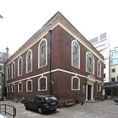
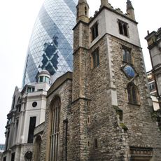
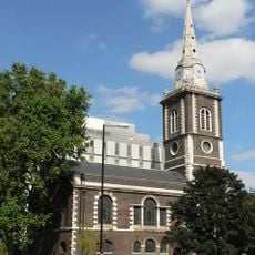
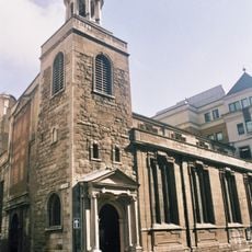
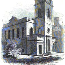
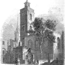
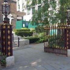
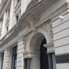
The district is home to two religious buildings that reflect centuries of different communities living here: St Botolph's church and Bevis Marks Synagogue sit near each other along the streets. Both remain places where people gather, showing how this area has welcomed many faiths over time.
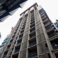
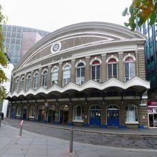
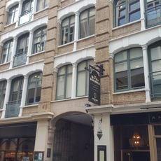
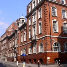
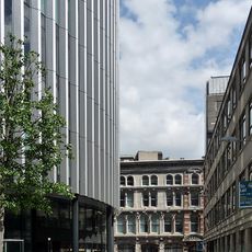
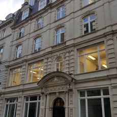
The area is located in the eastern City of London and is well served by public transport with several tube stations and buses connecting it to other parts of the city. Walking through the streets here gives you a mix of older architecture and modern buildings all in close proximity.
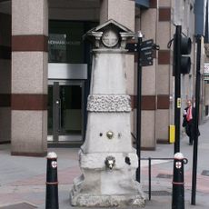
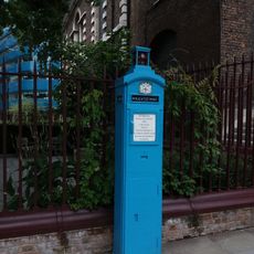
An old water pump built around 1700 once stood at the crossroads and served as a reference point for measuring distances into the surrounding counties. This simple structure shows how important this location was as a landmark before modern measuring tools existed.
The community of curious travelers
AroundUs brings together thousands of curated places, local tips, and hidden gems, enriched daily by 60,000 contributors worldwide.