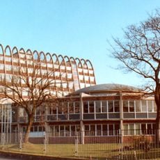
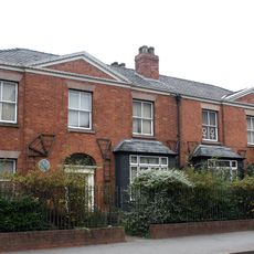
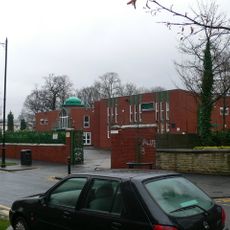
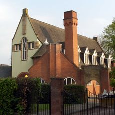
Rusholme, Urban district in Manchester, England
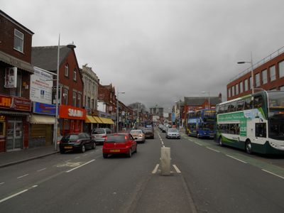
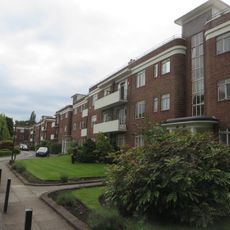
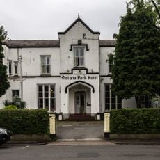
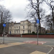
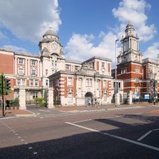
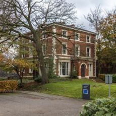
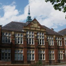
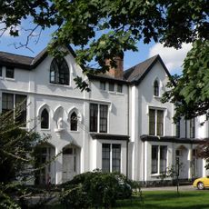
Rusholme is an urban district located about 3 km south of Manchester's center, combining residential neighborhoods with local shops and services. The area features both housing blocks and green spaces, with Wilmslow Road serving as the main commercial spine running through the district.
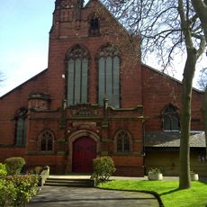
The name comes from Old English terms describing rushes that once grew in the area. It developed from a rural village into an urban township during Manchester's industrial expansion in the 19th century.
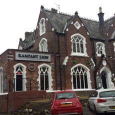
Wilmslow Road forms the social and culinary center of Rusholme, with South Asian and Middle Eastern restaurants defining the neighborhood's daily character. This food-focused street has become a destination where locals and visitors experience different traditions through cooking and dining.
Frequent buses connect Rusholme to Manchester's center, making the area easy to reach without a car. Most attractions and restaurants are within walking distance, particularly along Wilmslow Road and around Platt Fields Park.
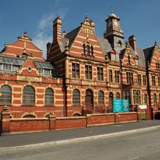
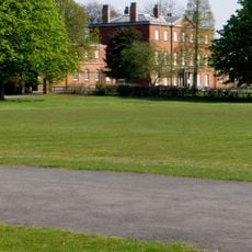
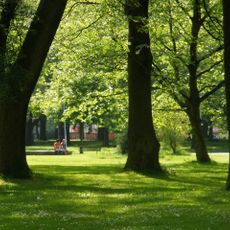
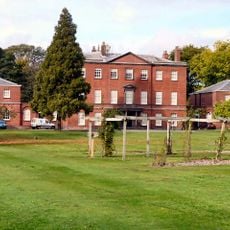
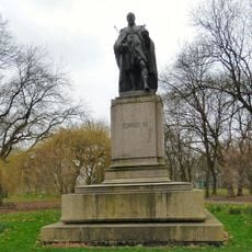
Platt Fields Park holds a large lake and formal gardens that offer a quiet retreat from the surrounding urban area. The grounds also include a BMX track, showing how the district accommodates both traditional park activities and modern recreational interests.
The community of curious travelers
AroundUs brings together thousands of curated places, local tips, and hidden gems, enriched daily by 60,000 contributors worldwide.