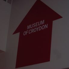
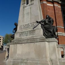
Croydon, Market town in South London, England
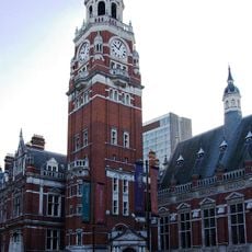
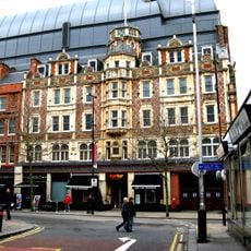
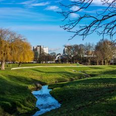
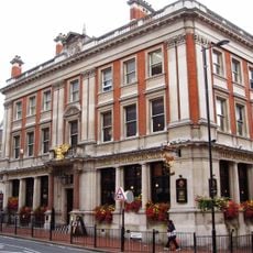
Croydon is a district in south London featuring a commercial center with office towers and shopping complexes such as Whitgift Centre. Wide roads run through residential neighborhoods, parks, and rows of shops that give structure to the outer boroughs.
In the early 1800s, the Surrey Iron Railway linked the town to Wandsworth, marking the start of public rail freight in Britain. Decades later, the local aerodrome became London's main civilian airport before operations moved to Heathrow.
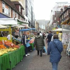
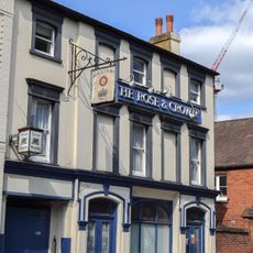
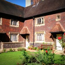
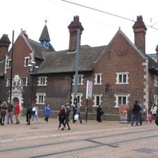
Residents gather at Surrey Street Market, where vendors sell fresh produce and chat with shoppers throughout the week. Fairfield Halls hosts concerts and theatrical performances, drawing local audiences who appreciate both classical and contemporary works.
The railway station provides direct connections to central London and other suburbs, making it easy to explore the center on foot. Surrey Street Market opens mornings from Monday through Saturday, offering a good starting point for fresh food shopping.
The former airfield operated as London's main civilian airport from 1915 to 1959, welcoming the city's first scheduled international flights. Today, signage and memorials recall the era when passengers boarded small propeller aircraft on this site.
The community of curious travelers
AroundUs brings together thousands of curated places, local tips, and hidden gems, enriched daily by 60,000 contributors worldwide.