Pinner, Historic district in northwest London, England
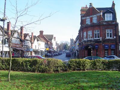
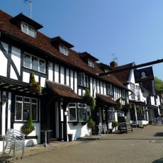
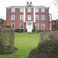
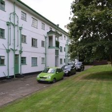
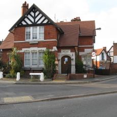
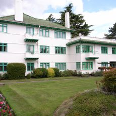
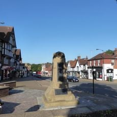
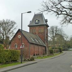
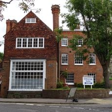
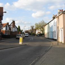
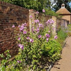
Pinner is a district in northwest London that belongs to the Borough of Harrow and lies along the river of the same name. The streets show a mix of Victorian, Edwardian, and Art Deco houses, giving the place a varied appearance.
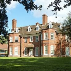
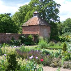
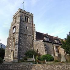
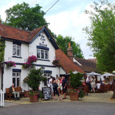
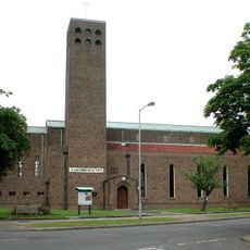
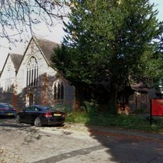
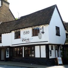
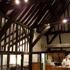
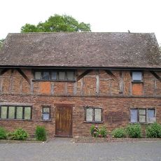
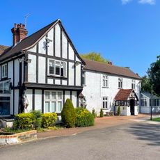
The first written mention dates from 1231, when the place was called Pinnora and took its name from the River Pinn. In the 14th century, St John the Baptist church was built, and it remains standing today alongside several Tudor-era buildings.
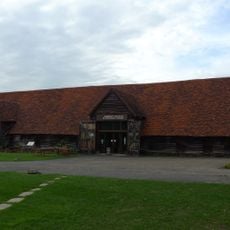
The annual fair, established in 1336 by royal charter, transforms the streets each summer into a celebration with stalls, music, and local traditions. Families from across the area come together to experience this centuries-old event, which still defines the community spirit of the neighborhood today.
The Underground station sits on the Metropolitan line and connects the district directly to central London. During peak hours, trains run every few minutes, making the connection straightforward.
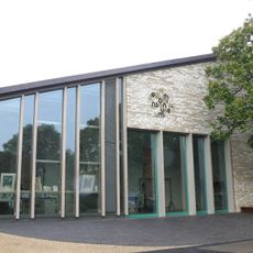
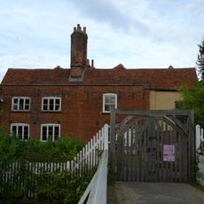
The district counts 289 listed buildings in total, including many houses from different eras that are still lived in and used daily. Even in the smaller side streets, you regularly come across buildings that have been part of the neighborhood for centuries.
Location: London Borough of Harrow
Shares border with: Pinner Green
GPS coordinates: 51.59320,-0.38940
Latest update: December 12, 2025 23:33
Highgrove House
1.8 km
Eastcote House Gardens
1.1 km
Heath Robinson Museum
202 m
Headstone Manor
2.4 km
Church of St John the Baptist
744 m
Headstone Manor and Museum
2.5 km
Case is Altered
1.1 km
Queen's Head
616 m
Pinner House
783 m
Rayners
2.2 km
Church of St Alban
1.9 km
St Anselm's Church
2.2 km
Monument To William And Agnes Loudon, In Churchyard To Church Of St John The Baptist On South Side
741 m
The Victory Public House
537 m
Pinner Court
1.5 km
Pinner Police Station Including Stable Block, Boundary Wall, Gate Pier And Fences, Bollards And Police Lamps
409 m
Mile Post To West Of Junction With George V Avenue
1.7 km
Drinking Fountain At Junction With Moss Lane
1 km
Elm Park Court, And Entrance Arch
485 m
Pinner War Memorial
672 m
34, 34A, 36, High Street
614 m
Tooke's Folly At Pinner Hill Farm
1.4 km
The Old Coach House
1.2 km
Haywood House
720 m
Barn South West of Headstone Manor
2.4 km
3, Waxwell Lane
445 m
Field End Lodge
1.4 km
Garden Walls To East Of The Old Coach House
1.1 kmVisited this place? Tap the stars to rate it and share your experience / photos with the community! Try now! You can cancel it anytime.
Discover hidden gems everywhere you go!
From secret cafés to breathtaking viewpoints, skip the crowded tourist spots and find places that match your style. Our app makes it easy with voice search, smart filtering, route optimization, and insider tips from travelers worldwide. Download now for the complete mobile experience.
A unique approach to discovering new places❞
— Le Figaro
All the places worth exploring❞
— France Info
A tailor-made excursion in just a few clicks❞
— 20 Minutes