Goring-on-Thames, Village at River Thames in South Oxfordshire, England.
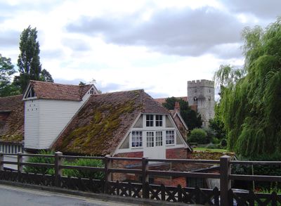
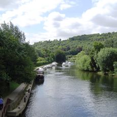
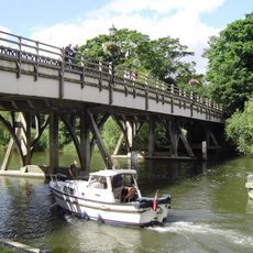
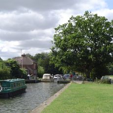
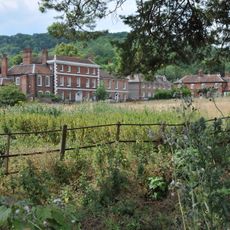
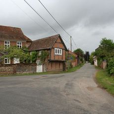
Goring-on-Thames is a settlement along the River Thames in South Oxfordshire, England, where the valley cuts through between two ranges of hills. Houses and shops line the main street and extend down toward the riverbank, where a footbridge joins both sides of the water.
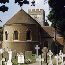
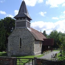
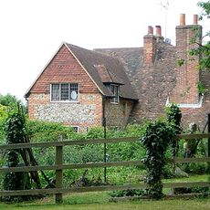
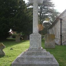
The settlement is recorded in the Domesday Book of 1086 as home to the people of Gara. The Norman church in the village was built during the 12th century in dedication to Thomas Becket, shortly after his death in Canterbury.
The settlement takes its name from an Anglo-Saxon leader and his followers who settled here over a thousand years ago. Today walkers follow the Thames Path National Trail running through the village, linking riverside routes with the surrounding hills.
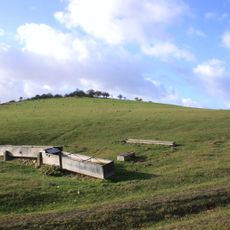
A railway station on the Great Western Main Line sits at the edge of the village and connects it daily with London, Reading, and Oxford. Paths along the river make for easy walking, while routes through the surrounding hills involve steep climbs.
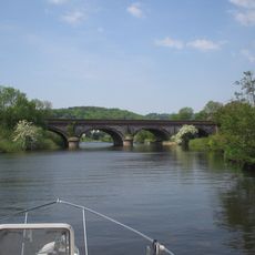
Two identical railway viaducts with four arches each cross the river here and now stand as protected structures. Isambard Kingdom Brunel designed these bridges, which still carry daily train services between London and the west of England.
The community of curious travelers
AroundUs brings together thousands of curated places, local tips, and hidden gems, enriched daily by 60,000 contributors worldwide.