
Standlake, village and civil parish in West Oxfordshire, England
Location: West Oxfordshire
Shares border with: Hardwick-with-Yelford, Longworth, Northmoor, Stanton Harcourt, South Leigh, Aston, Cote, Shifford and Chimney
Website: http://standlakepc.org.uk
GPS coordinates: 51.72800,-1.42800
Latest update: March 15, 2025 16:07
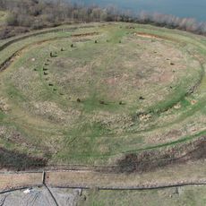
Devil's Quoits
2 km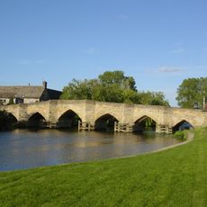
New Bridge
2.2 km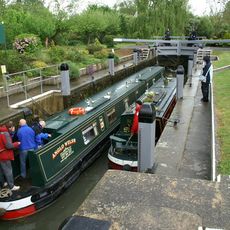
Shifford Lock
3.5 km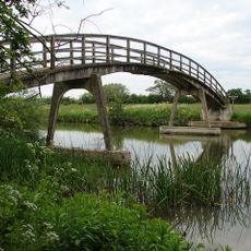
Hart's Weir Footbridge
3.4 km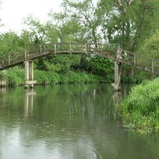
Tenfoot Bridge
5.7 km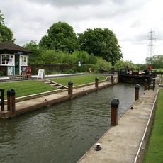
Northmoor Lock
3.7 km
Longworth House
4.2 km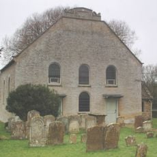
Cote Baptist Church
4.5 km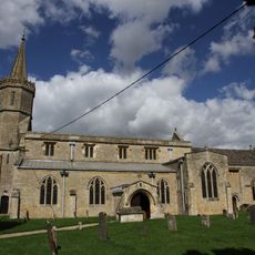
St Giles' Church, Standlake
246 m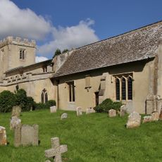
Church of St Mary
4.1 km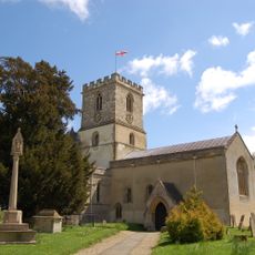
Church of St Michael, Stanton Harcourt
3.1 km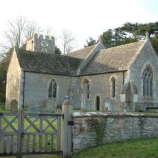
Church of St Margaret, Hinton Waldrist
4.8 km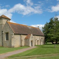
Church of St Mary, Cokethorpe
3.6 km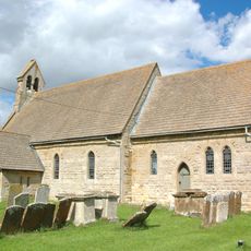
Church of St Mary
2.8 km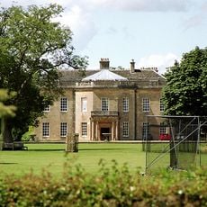
Cokethorpe House
3.8 km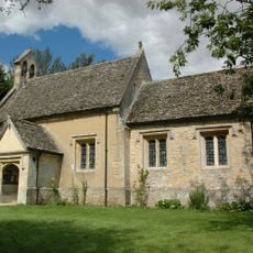
Church of St Nicholas And St Swithin
3.9 km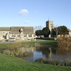
Church of St Bartholomew
5.6 km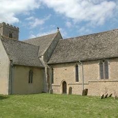
Church of St Denys
2.6 km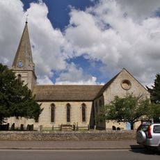
Church of St James
5.4 km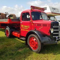
Ducklington Steam Rally
5.9 km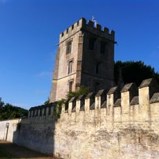
Pope's Tower Approximately 35 Metres South East Of Harcourt House
3 km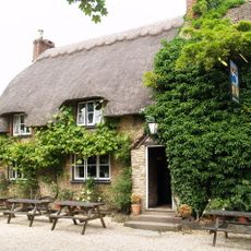
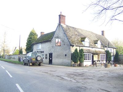
The Blue Boar Public House
4.1 km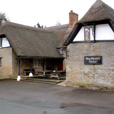
The Masons Arms Public House
5.2 km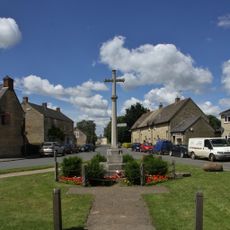
Aston War Memorial
5.5 km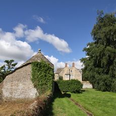
Longworth Manor, Wall And Gazebo 30 Metres East
4.2 km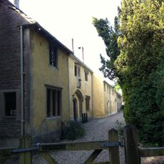
Harcourt House And Attached Walls And Outbuildings
3 km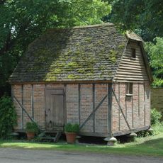
Rectory Farm, Barn Approximately 60 Metres North North East Of Farmhouse
2.6 km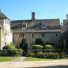
Rectory Farmhouse
2.6 kmVisited this place? Tap the stars to rate it and share your experience / photos with the community! Try now! You can cancel it anytime.
Discover hidden gems everywhere you go!
From secret cafés to breathtaking viewpoints, skip the crowded tourist spots and find places that match your style. Our app makes it easy with voice search, smart filtering, route optimization, and insider tips from travelers worldwide. Download now for the complete mobile experience.

A unique approach to discovering new places❞
— Le Figaro
All the places worth exploring❞
— France Info
A tailor-made excursion in just a few clicks❞
— 20 Minutes