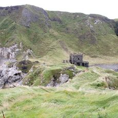
Dunluce Lower, Medieval barony in County Antrim, Northern Ireland
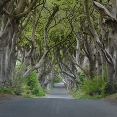
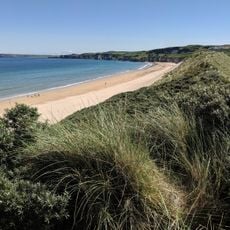
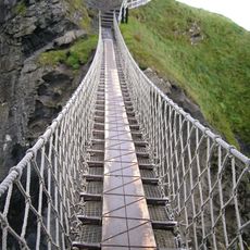
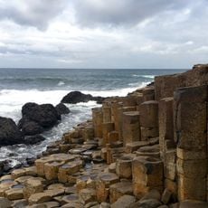
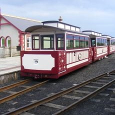
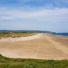
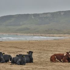
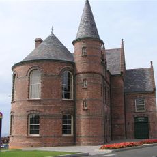
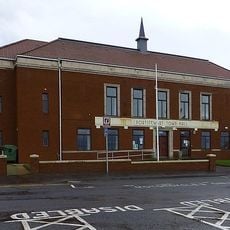
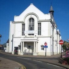
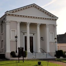
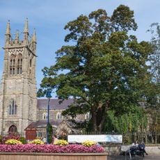
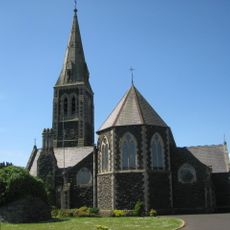
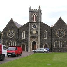
Dunluce Lower is a medieval barony stretching along the north Antrim coast, bordered by Dunluce Upper, Cary, and the North East Liberties of Coleraine. The territory encompasses several population centers including the town of Portrush and villages such as Bushmills, Dervock, and Portballintrae.
This barony originated as part of the medieval territory known as the Route, with boundaries defined by natural features like the River Bush. The ancient division of the land into parishes established patterns of settlement and governance that persist in the region's structure today.
The dual naming tradition reflects deep Irish roots, with locals referring to this barony as Dún Libhse Íochtarach in the Irish language. This linguistic presence marks how both cultures shaped the region's identity and how people still connect to the place today.
The barony is easily explored through several towns and villages spread across the territory, offering natural starting points for visitors. Roads connect these settlements across the coastal and inland areas, making it straightforward to get oriented.
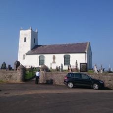
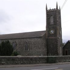
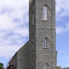
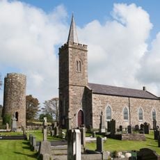
The territory comprises five distinct civil parishes named Ballyrashane, Ballywillan, Billy, Derrykeighan, and Dunluce, with some extending into neighboring areas. This fragmented organization reflects how medieval administrative divisions did not always align with clear boundaries.
The community of curious travelers
AroundUs brings together thousands of curated places, local tips, and hidden gems, enriched daily by 60,000 contributors worldwide.