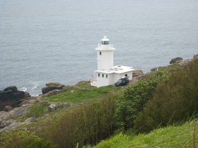
Tater Du Lighthouse, Automated lighthouse on Cornwall coast, England.
Tater Du Lighthouse is an automated lighthouse on the Cornwall coast in England, built from precast concrete blocks and standing about 50 feet (15 meters) tall on a rocky headland above steep dark cliffs. The cylindrical tower sends regular light signals out to sea to warn ships of the dangerous Runnelstone Rock lying just offshore.
The lighthouse was built after the wreck of the cargo ship Jeanne Gougy in 1963, which killed 11 people and made clear how exposed this stretch of coast was to shipping accidents. It came into service in 1965, replacing whatever navigation aids had existed before along this part of the English Channel.
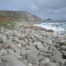
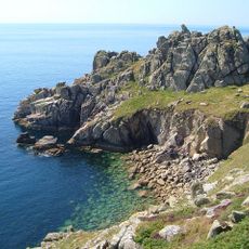
The name Tater Du comes from the Cornish language and means dark earth or dark rock, a direct reference to the black cliff face on which it stands. Walking along the coastal path nearby, visitors can see how well the name fits the dark stone that surrounds the tower.
The lighthouse sits near Lamorna on the south coast of Cornwall and can be reached on foot via the South West Coast Path, though the trail is uneven and steep in places. The headland is open and exposed, so sturdy footwear and an eye on the weather make a real difference.
Tater Du was the first lighthouse in Britain designed from the start for fully automatic operation, with no keeper ever stationed there. The prefabricated concrete construction method used to build it was new to British lighthouse engineering at the time and influenced later projects.
The community of curious travelers
AroundUs brings together thousands of curated places, local tips, and hidden gems, enriched daily by 60,000 contributors worldwide.