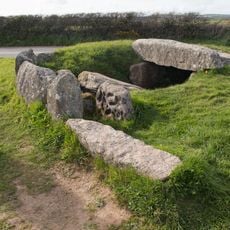
The Merry Maidens, Neolithic stone circle near St Buryan, England
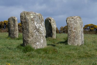
The Merry Maidens is a stone circle composed of nineteen granite stones arranged in a perfect circular formation near St Buryan in Cornwall. The monument stands in an open field and creates a clear geometric shape that visitors can walk around and observe from different angles.
The stone circle was built during the late Neolithic period, roughly 4,000 years ago, serving ceremonial or ritual functions for the people who built it. Evidence suggests careful planning went into its construction, indicating its importance as a gathering place or sacred location.
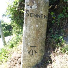
The site carries the name Dans Maen, meaning Stone Dance in the Cornish language, reflecting how local people saw the granite arrangement as a place of ritual movement. This naming tradition shows how the community understood its role as something more than just stones in a field.
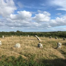
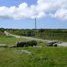
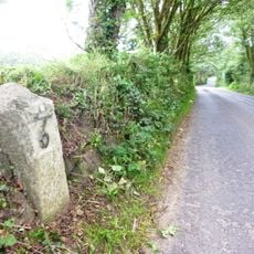
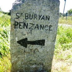
The stone circle stands beside the B3315 road between Newlyn and Land's End, making it accessible from the roadside. The site sits on flat, open ground that allows easy walking around the stones and viewing them from all sides.
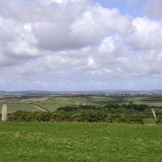
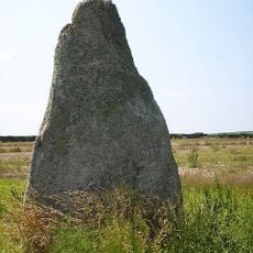
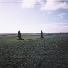
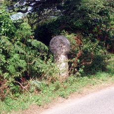
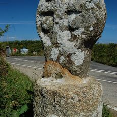
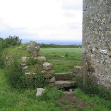
Two additional standing stones called The Pipers stand to the northeast of the circle and form a separate structure whose connection to the main monument remains unclear. These companion stones add mystery to the site and suggest complex ritual arrangements beyond what the circle alone reveals.
The community of curious travelers
AroundUs brings together thousands of curated places, local tips, and hidden gems, enriched daily by 60,000 contributors worldwide.