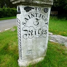
St Buryan, village and former civil parish in Cornwall, England
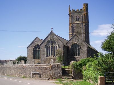
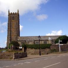
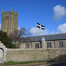
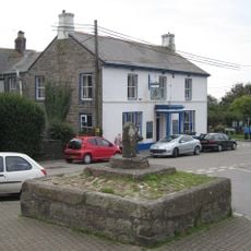
St Buryan is a small village in southwestern Cornwall surrounded by fields and stone walls, with an old church standing prominently on a hill at its center. Stone houses cluster around this landmark, creating a quiet settlement with a slow rhythm of daily life.
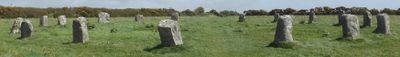
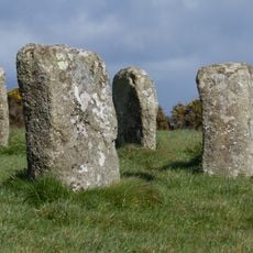
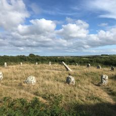
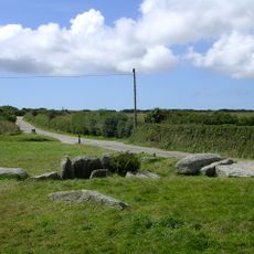
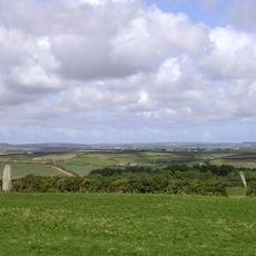
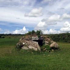
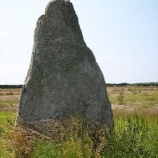
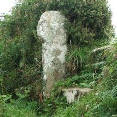
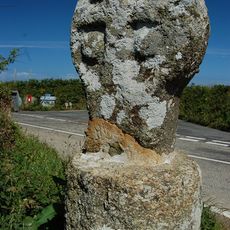
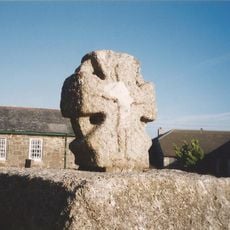
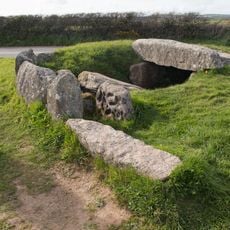
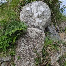
The area was inhabited in prehistoric times, as evidenced by ancient stone circles and burial chambers scattered nearby. The village grew around its church, built in the 14th century, which became and remains the historic heart of the settlement.
The village takes its name from Saint Buriana, an Irish figure whose legend remains part of local tradition and memory. Residents keep this heritage alive through annual festivals with folk music, storytelling, and shared meals that reflect their connection to the land and sea.
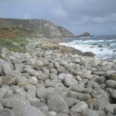
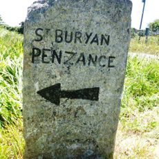
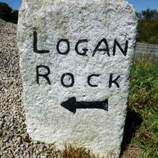
The village is a good starting point for walks along the nearby coast, offering access to quiet beaches and walking trails. A small local shop provides essentials, and everything in the center can be reached on foot.
Two Bronze Age stone circles nearby, Boscawen-un and the Merry Maidens, date back about 5000 years and are surrounded by local legends about enchanted women and ancient rituals. These prehistoric monuments stand as silent witnesses to forgotten ceremonies from ages past.
The community of curious travelers
AroundUs brings together thousands of curated places, local tips, and hidden gems, enriched daily by 60,000 contributors worldwide.