
Curbar, village and civil parish in Derbyshire Dales district, Derbyshire, England
Location: Derbyshire Dales
Shares border with: Froggatt, Baslow and Bubnell, Calver
GPS coordinates: 53.26800,-1.62400
Latest update: March 2, 2025 20:12
Stoke Hall, Derbyshire
1.9 km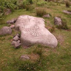
Gardom's Edge
2.4 km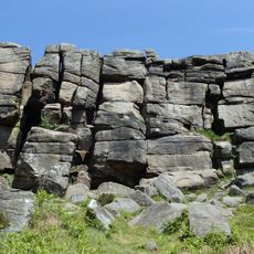
Birchen Edge
3.2 km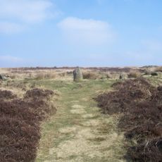
Barbrook One
2.8 km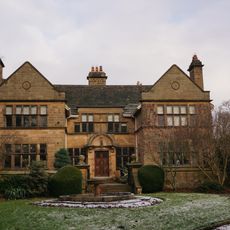
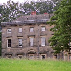
Baslow Hall
1.7 km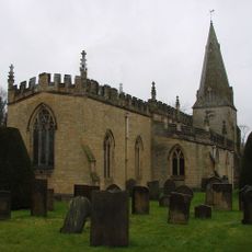
St. Anne's Church, Baslow
2.3 km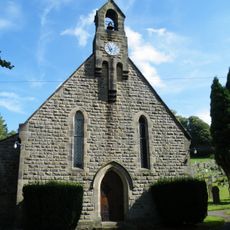
All Saints' Church, Curbar
551 m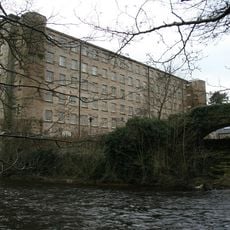
Calver Mill
471 m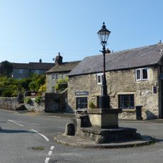
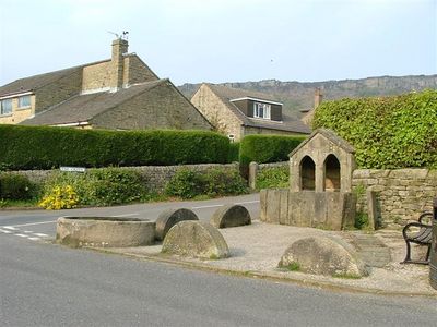
Lamp Standard And Mounting Block
1.1 km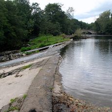
Masonry Weir To The East Of New Bridge
916 m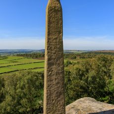
Nelson Monument
3.2 km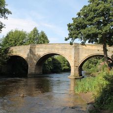
Baslow Bridge
2.3 km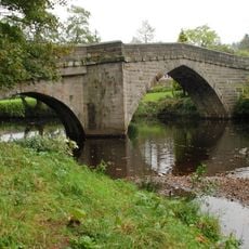
Froggatt Bridge
1.7 km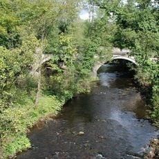
Calver Bridge
526 m
Milestone At Os238748
1.4 km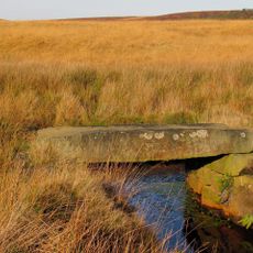
Clapper Bridge
2.7 km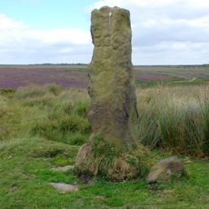
Group of guidestones at OS 27 75
2.3 km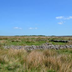
Prehistoric landscape on Big Moor and Ramsley Moor
2.3 km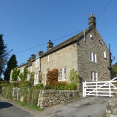
Stoke View
1.9 km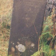
Milestone At Os 279738
2.9 km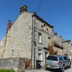
2, Lowside
1.1 km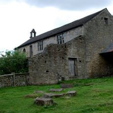
Former Schoolroom At Stocking Farm
560 m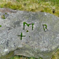
Boundary Stone Os 279741
2.8 km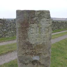
Guidestone, Bar Cross Road, track from Big Moor to Baslow, along Baslow Bar
2.3 km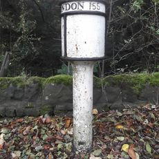
Milepost At Os260722
2.5 km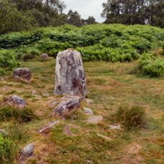
Stoke Flat West prehistoric field system and stone circle
1.9 km
Milestone, N of Froggatt village sign
2.7 km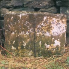
Milestone, Ramsley Moor
3.5 kmVisited this place? Tap the stars to rate it and share your experience / photos with the community! Try now! You can cancel it anytime.
Discover hidden gems everywhere you go!
From secret cafés to breathtaking viewpoints, skip the crowded tourist spots and find places that match your style. Our app makes it easy with voice search, smart filtering, route optimization, and insider tips from travelers worldwide. Download now for the complete mobile experience.

A unique approach to discovering new places❞
— Le Figaro
All the places worth exploring❞
— France Info
A tailor-made excursion in just a few clicks❞
— 20 Minutes