Chest opened
+${chestReward.xp} XP
Explorer
NOUVEAU ×${chestReward.collectible.quantity}
tapez pour fermer
Chest locked

Open chests in the app

Around Us is built for your phone — chests unlock when you walk, explore and capture nearby places.

Enable Location

We need your location to show you interesting places around you

Discover nearby places

Find interesting locations and hidden gems around you

Precise directions

Get accurate directions and distances to places

Your location is never shared with other users. It's only used when you tap the location button.

Log in to your account

Start exploring — it's free

Trusted by 72,888 travelers worldwide

Continue with Google
Continue with Apple
or

We will send you a code to connect

By continuing, you accept our Terms and Conditions and our Privacy Policy

Check your inbox

We've sent a pincode in your inbox. Please enter the code below.

Burnage
Discussion Reviews Photo
31.7k Popularity

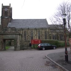
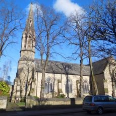
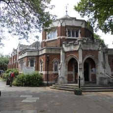
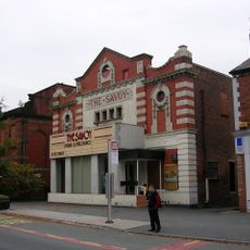
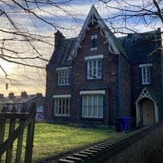
Burnage, Residential district in south Manchester, England

Burnage is a residential district in south Manchester located between Withington and Heaton Norris, spreading across hundreds of acres. The area is characterized by semi-detached houses built mainly during the 1930s and 1940s, forming the backbone of its housing stock.

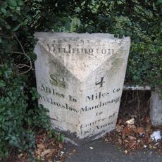
The area was originally known as Bronadge and belonged to Heaton as agricultural land before becoming a modern residential district. Its current shape came with urban development in the twentieth century when housing construction transformed the landscape.

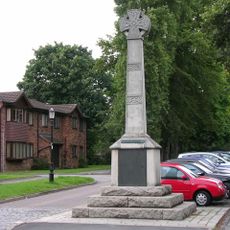
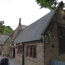
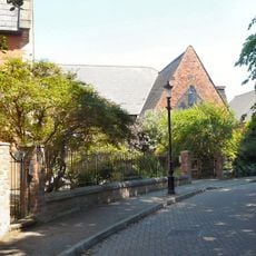
Burnage Garden Village, set up in 1906, created a planned residential area with tennis courts and green spaces where neighbors could meet and spend time outdoors. This garden community shows how residents were given their own spaces to gather and enjoy daily life together.

The area connects to Manchester Piccadilly through two railway stations on the Styal Line, providing regular transport links into the city center. Visitors can explore the district by train or on foot through quiet streets lined with period homes.

A French pilot landed here in 1910 after completing the first powered flight from London to Manchester, making it a notable point in aviation history. This quiet residential area was once the site of a significant aviation achievement that put it briefly on the map.

The community of curious travelers

AroundUs brings together thousands of curated places, local tips, and hidden gems, enriched daily by 60,000 contributors worldwide.

Start exploring
Location
GPS coordinates
53.42580,-2.21080
Latest update
December 20, 2025 01:07
Reviews
Share your experience

No review yet

Discussions
Start a discussion...

No discussion yet

« Burnage - Residential district in south Manchester, England » is provided by Around Us (aroundus.com). Images and texts are derived from Wikimedia project under a Creative Commons license. You are allowed to copy, distribute, and modify copies of this page, under the conditions set by the license, as long as this note is clearly visible.

Discover hidden gems everywhere you go!

From secret cafés to breathtaking viewpoints, skip the crowded tourist spots and find places that match your style. Our app makes it easy with voice search, smart filtering, route optimization, and insider tips from travelers worldwide. Download now for the complete mobile experience.

Around Us App Screenshot

A unique approach to discovering new places

Le Figaro

All the places worth exploring

France Info

A tailor-made excursion in just a few clicks

20 Minutes

Around Us
Travel Guide & Maps
Download

Send to your phone

QR Code
1

Open the camera app on your mobile.

2

Point at the QR code with your camera. A notification will appear.

3

Tap the notification to open the link.