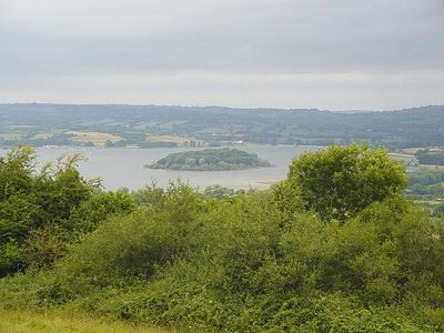
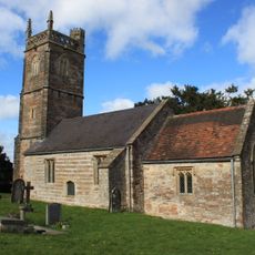
Chew Valley Lake, Reservoir in Bath and North East Somerset, England.
Chew Valley Lake is a reservoir in Bath and North East Somerset, England, that spreads across gentle hills surrounded by pasture and hedgerows. The water is held by a dam at the eastern end, while shallow bays and reed beds break up the shoreline in several places.
The reservoir was built in the early 1950s to supply drinking water to Bristol and nearby towns. Queen Elizabeth II opened it in 1956 after several farms and fields were flooded to create the basin.
The name comes from the River Chew, which once flowed through this valley before it was dammed. Today, anglers gather along the banks while sailors take to the open water and birdwatchers scan the reed beds at the edge.
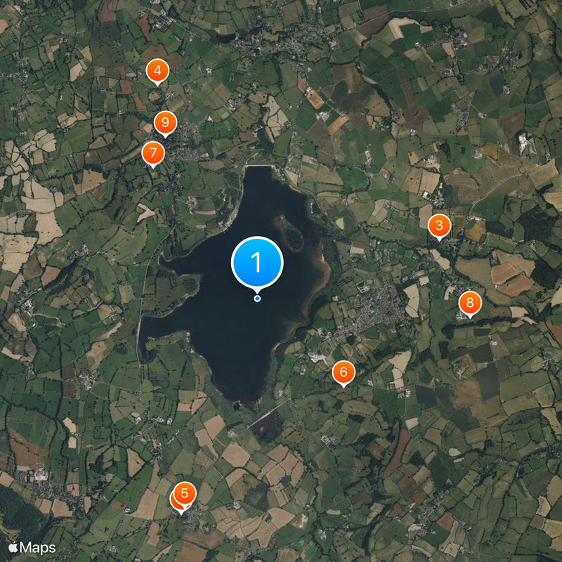
Bristol Water manages fishing permits and offers boat rentals, while several access points along the shore allow different activities. On calm days the shallow bays are good for exploring, and when the wind picks up, windsurfers favor the open sections near the dam.
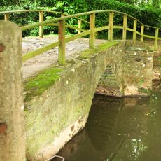
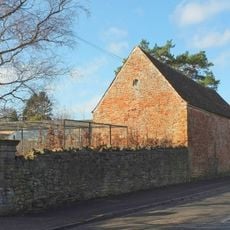
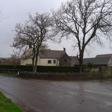
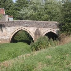
When water levels drop, remains of the flooded landscape resurface, including walls from old farmsteads and bridge arches. Visitors can then see how the fields and lanes looked before the valley was submerged.
Location: Bath and North East Somerset
Elevation above the sea: 56 m
GPS coordinates: 51.33470,-2.61803
Latest update: December 5, 2025 22:28
Gournay Court
3.1 km
Sutton Court
2.6 km
Roman Temple in Pagans Hill
3.2 km
Church of St Mary, West Harptree
3 km
Burledge Hill
1.7 km
St Andrew's Church, Chew Stoke
2.3 km
Church of St Nicholas and the Blessed Virgin Mary, Stowey
2.9 km
The Rectory, Chew Stoke
2.5 km
Church of Holy Trnity
1.6 km
Baptist Chapel
3.4 km
Crickback Bridge At St573629
3.2 km
Webb Monument In The Churchyard About 10 Metres South West Of Church Of St Andrew
2.6 km
Milestone, near Heron's Green, between Chew Stoke & West Harptree
1.7 km
Church Farmhouse
2.7 km
Tilley Manor Farmhouse
3 km
Obelisk
2.2 km
The Sycamores
3.4 km
Archways Fisher Lodge
3.1 km
Knole Hill Farmhouse
1.8 km
Acacia House The Firs
3.4 km
Barle House
3.4 km
Dumpers Farmhouse
3.3 km
Barn To North West Of Gournay Court
3 km
Tunbridge House
3.2 km
Moat Farmhouse
2.5 km
Tun Bridge
3.3 km
Raised Pavement And Steps Extending About 200 Metres From Junction With The Chalks To Tun Bridge
3.4 km
Portugal House
3.4 kmVisited this place? Tap the stars to rate it and share your experience / photos with the community! Try now! You can cancel it anytime.
Discover hidden gems everywhere you go!
From secret cafés to breathtaking viewpoints, skip the crowded tourist spots and find places that match your style. Our app makes it easy with voice search, smart filtering, route optimization, and insider tips from travelers worldwide. Download now for the complete mobile experience.
A unique approach to discovering new places❞
— Le Figaro
All the places worth exploring❞
— France Info
A tailor-made excursion in just a few clicks❞
— 20 Minutes