Burledge Hill, Iron Age hillfort and nature reserve in West Harptree, England
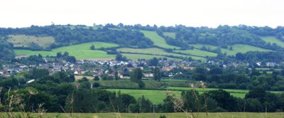
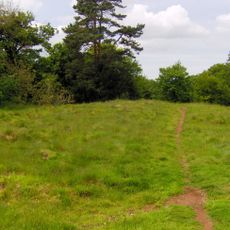
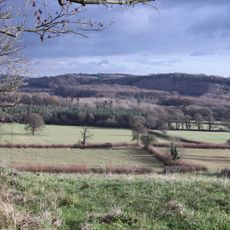
Burledge Hill is an Iron Age hillfort in the Mendip Hills featuring earthwork ramparts and ditches spread across grassland and scrubland. The visible remains show clear patterns from ancient times laid out across the slope.
The hillfort was built during the Iron Age as one of many such structures across southwestern England. Excavations from the 1950s and 1960s revealed pottery, animal remains, and evidence of metalworking within the earthworks.
The hillfort construction reflected social changes during the Bronze to Iron Age transition, marking shifts in trading patterns and impacts on local community structures.
Access is via footpaths that cross the site and provide good views of the earthworks from different angles. The area is open to visitors who want to walk freely and explore the archaeological features on their own pace.
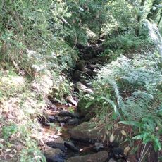
The site hosts several breeding bird species including garden warblers and whitethroats that nest within the unimproved grassland. Birdwatchers often find the spring months rewarding for spotting these species among the vegetation.
Location: West Harptree
GPS coordinates: 51.32410,-2.60130
Latest update: December 14, 2025 12:21
Gournay Court
2.8 km
Chew Valley Lake
1.7 km
Harptree Court
2.9 km
Cholwell House
3.5 km
Church of St Mary, Litton
4 km
Sutton Court
2.4 km
Church of St James, Cameley
3 km
Church of St Mary, West Harptree
2.7 km
Eastwood Manor
3.3 km
Folly Farm, Somerset
3.1 km
Richmont Castle
3.4 km
Harptree Combe
3.4 km
St Andrew's Church, Chew Stoke
3.9 km
Eastwood Manor Farm Steading
3.1 km
Church of St Nicholas and the Blessed Virgin Mary, Stowey
2 km
Church of St Laurence, East Harptree
3 km
Church of St Margaret, Hinton Blewett
1.9 km
Long Dole Wood and Meadows SSSI
3.6 km
Church of Holy Trnity
1.2 km
Milestone, near Heron's Green, between Chew Stoke & West Harptree
2.9 km
Tilley Manor Farmhouse
2.7 km
Stile, 8 Metres North East Of Chancel, Church Of St Laurence
3 km
Obelisk
3.8 km
Knole Hill Farmhouse
2.6 km
Moat Farmhouse
3.4 km
Barn To North West Of Gournay Court
2.8 km
Milestone About 100 Metres South West Of Stoke Villice, At Ngr 558606
3.2 km
Milestone, Clutton opp. Warwick Arms
3.8 kmVisited this place? Tap the stars to rate it and share your experience / photos with the community! Try now! You can cancel it anytime.
Discover hidden gems everywhere you go!
From secret cafés to breathtaking viewpoints, skip the crowded tourist spots and find places that match your style. Our app makes it easy with voice search, smart filtering, route optimization, and insider tips from travelers worldwide. Download now for the complete mobile experience.
A unique approach to discovering new places❞
— Le Figaro
All the places worth exploring❞
— France Info
A tailor-made excursion in just a few clicks❞
— 20 Minutes