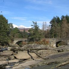
Meall nan Tarmachan, Mountain summit in Perthshire, Scotland.
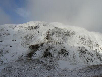
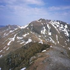
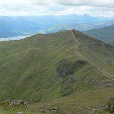
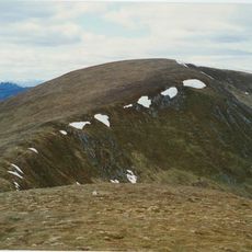
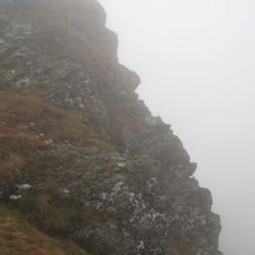
Meall nan Tarmachan is a mountain summit in the Southern Highlands reaching 1044 meters, distinguished by a prominent ridge with multiple peaks along its length. Its shape forms part of a distinctive hill range within the wider landscape of this region.
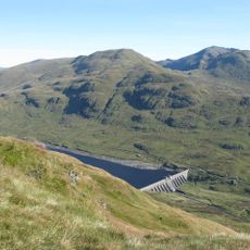
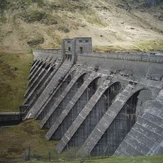
An aerial cableway operated on the mountain from 1951 to 1961, transporting rock extracted from a nearby quarry for dam construction in the area. This industrial operation left traces in the landscape that remain visible today.
The mountain carries a Gaelic name referring to ptarmigans, reflecting the connection between these highlands and local wildlife. The surrounding peaks also bear traditional names tied to nature and the landscape's past.
The hike starts from a car park at Ben Lawers Nature Reserve, following a marked path up the south ridge where the ground is sometimes steep and rocky. Proper hiking boots and caution during wet weather are advisable due to the changing terrain.
The mountain has three additional peaks classified as Tops rather than full summits, due to their proximity and insufficient separation from the main peak. This classification system intrigues many walkers who discover how mountain rankings work in these regions.
The community of curious travelers
AroundUs brings together thousands of curated places, local tips, and hidden gems, enriched daily by 60,000 contributors worldwide.