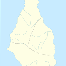
Chances Peak, Mountain summit in Montserrat, Caribbean.
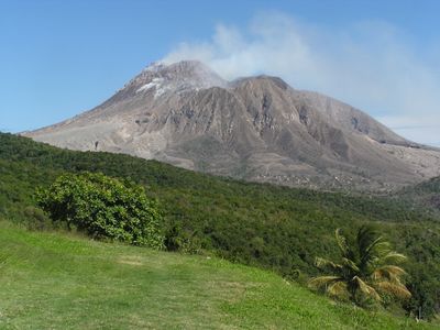
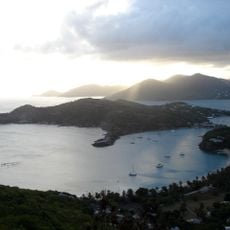
Chances Peak is a mountain summit in the Soufrière Hills on Montserrat rising approximately 915 meters (3,000 feet) above sea level. From this vantage point, visitors can see across the surrounding Caribbean waters and the island's volcanic landscape.
The area played a key role in Montserrat's volcanic history starting in 1995 when the Soufrière Hills began their first recorded eruption. This activity fundamentally reshaped the island's terrain and created new geological features.
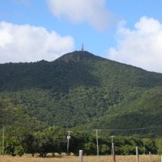
The peak served local people for generations as a natural landmark that helped them understand and navigate their island home. This role as a geographical reference remains part of how residents relate to their landscape.
Access to the area requires awareness of current volcanic monitoring activities and travel restrictions that may be in place on the island. Visitors should check current conditions and safe access routes before planning any ascent.
The summit was once the highest point on Montserrat until volcanic domes that formed during eruptions after 1995 exceeded its elevation. This shift in the island's geography happened within living memory.
The community of curious travelers
AroundUs brings together thousands of curated places, local tips, and hidden gems, enriched daily by 60,000 contributors worldwide.