Enable Location

We need your location to show you interesting places around you

Discover nearby places

Find interesting locations and hidden gems around you

Precise directions

Get accurate directions and distances to places

Your location is never shared with other users. It's only used when you tap the location button.

Ben Donich

Log in to your account

Start exploring — it's free

Trusted by 61,455 travelers worldwide

Continue with Google
Continue with Apple
or

We will send you a code to connect

By continuing, you accept our Terms and Conditions and our Privacy Policy

Check your inbox

We've sent a pincode in your inbox. Please enter the code below.

Ben Donich

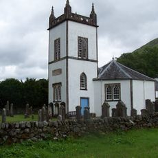
Ben Donich, Mountain summit in Argyll and Bute, Scotland

Description

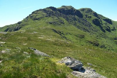
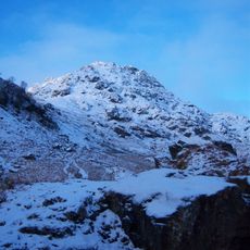
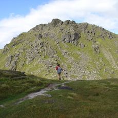
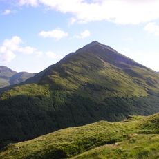
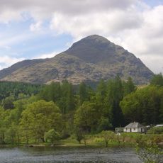
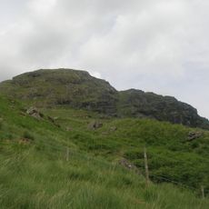
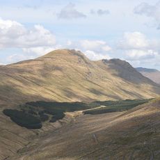
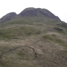
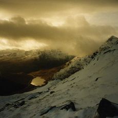
Ben Donich is a summit in the Arrochar Alps standing 846 meters high with a distinctive pyramid-shaped peak. Four ridges extend from the top, with the south-east ridge providing the main approach and connecting to the neighboring peak of The Brack.

History

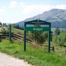
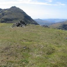
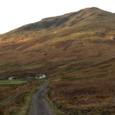
The mountain has served local communities as a geographic reference point for many centuries. Its triangulation point became an important marker when mapping and surveying Scotland was systematized in later periods.

Culture

The name comes from Scottish Gaelic 'Beinn Dómhnaich', reflecting the traditional language of the Highlands. Visitors walking through the area still encounter these ancient words in place names and local speech.

Practical

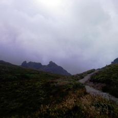
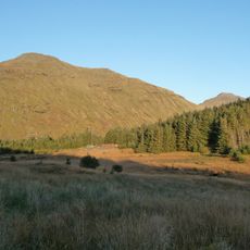
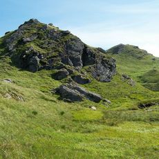
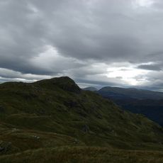
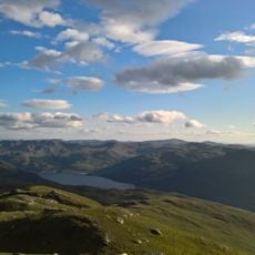
Hikers should prepare for changing weather and exposed conditions at elevation, which can shift quickly throughout the day. Sturdy footwear and layered clothing are necessary year-round, especially since the upper slopes are windier and more open.

Did you know?

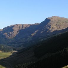
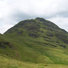
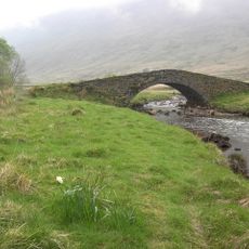
The mountain is surrounded by extensive forestry plantations on its lower slopes, creating a sharp contrast with the open grassy terrain higher up. This blend of dense woodland and exposed ridges means walkers experience two distinctly different landscapes within a single climb.

Location
Elevation above the sea
846 m
Part of
Arrochar Alps
GPS coordinates
56.19793,-4.87326
Latest update
December 13, 2025 12:20

AroundUs brings together thousands of curated places, local tips, and hidden gems, enriched daily by 60,000 contributors worldwide. Discover all places nearby (Argyll and Bute).

« Ben Donich - Mountain summit in Argyll and Bute, Scotland » is provided by Around Us (aroundus.com). Images and texts are derived from Wikimedia project under a Creative Commons license. You are allowed to copy, distribute, and modify copies of this page, under the conditions set by the license, as long as this note is clearly visible.

Discover hidden gems everywhere you go!

From secret cafés to breathtaking viewpoints, skip the crowded tourist spots and find places that match your style. Our app makes it easy with voice search, smart filtering, route optimization, and insider tips from travelers worldwide. Download now for the complete mobile experience.

Around Us App Screenshot

A unique approach to discovering new places

Le Figaro

All the places worth exploring

France Info

A tailor-made excursion in just a few clicks

20 Minutes

Around Us
Travel Guide & Maps
Download

Send to your phone

QR Code
1

Open the camera app on your mobile.

2

Point at the QR code with your camera. A notification will appear.

3

Tap the notification to open the link.