Wormbridge, village and former civil parish in Herefordshire, UK
Location: Herefordshire
Location: Kilpeck
GPS coordinates: 51.97520,-2.83120
Latest update: March 4, 2025 14:17
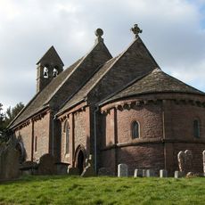
Church of St Mary and St David, Kilpeck
1.6 km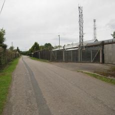
Pontrilas Army Training Area
3.3 km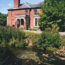
Abbey Dore Court
4.3 km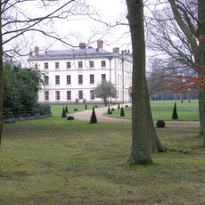
The Mynde
4.3 km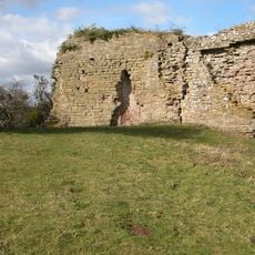
Kilpeck Castle
1.6 km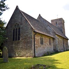
Church of St Dubricius, at St Devereux, Herefordshire
1.1 km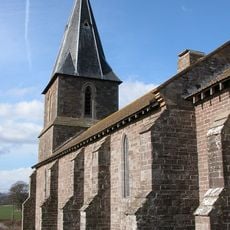
Church of St Peter and St Thomas
526 m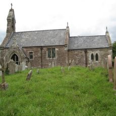
Church of St Mary
3.8 km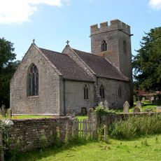
Church of St Bartholomew
3.6 km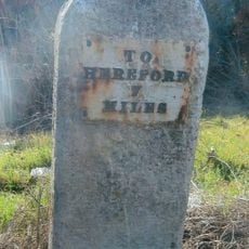
Milestone At So 449322
2.2 km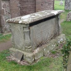
William Price Memorial approximately 2 meters south of chancel of Church of St Mary and St David
1.6 km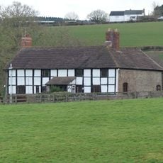
The Priory Farmhouse
1.9 km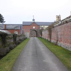
Garden walls to south of The Mynde
4.3 km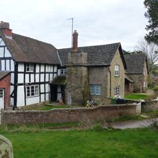
Kilpeck Court Farmhouse
1.7 km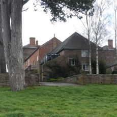
Outbuilding attached to north west of The Mynde
4.2 km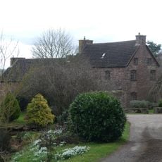
Newhouse Farmhouse and enclosing walls to north-west
2.7 km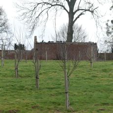
Kitchen garden walls to north of The Mynde
4.2 km
Stables and outbuildings attached to south-west of The Mynde
4.3 km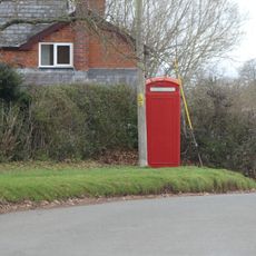
K6 Telephone Kiosk
1.8 km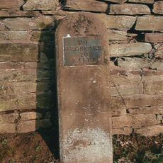
Milestone, Howton Farm
2.5 km
Didley Court Farmhouse
2.3 km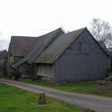
Barn about 50 yards south-west of Newhouse Farmhouse
2.7 km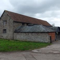
Barn approximately 30 meters north-east of Kilpeck Court Farmhouse
1.7 km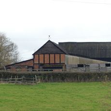
Group of two adjoining barns approximately 50 meters west of Priory Farmhouse
1.9 km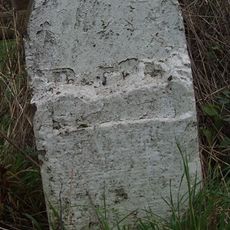
Milestone, Howton Grove Farm
915 m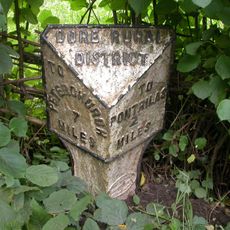
Milepost, Dore; 10m N Dicks Pitch turn
4.2 km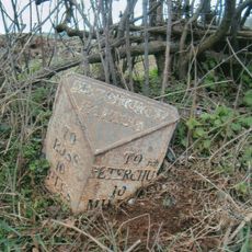
Milepost, Top Hill
4.3 km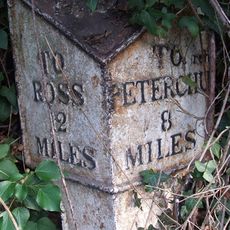
Milepost, Willox Bridge; E of A465 jcn
3.8 kmVisited this place? Tap the stars to rate it and share your experience / photos with the community! Try now! You can cancel it anytime.
Discover hidden gems everywhere you go!
From secret cafés to breathtaking viewpoints, skip the crowded tourist spots and find places that match your style. Our app makes it easy with voice search, smart filtering, route optimization, and insider tips from travelers worldwide. Download now for the complete mobile experience.

A unique approach to discovering new places❞
— Le Figaro
All the places worth exploring❞
— France Info
A tailor-made excursion in just a few clicks❞
— 20 Minutes