
Sedgehill and Semley, civil parish in Wiltshire, United Kingdom
Location: Wiltshire
Website: https://sedgehillandsemleyparishcouncil.org.uk
GPS coordinates: 51.04389,-2.17220
Latest update: April 12, 2025 08:17
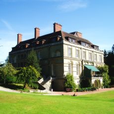
Clouds House
3.9 km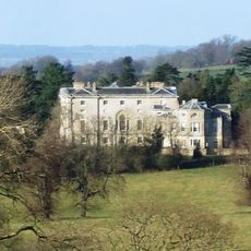
New Wardour Castle
4.8 km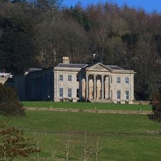
Pythouse
2.9 km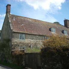
Shute House
3.6 km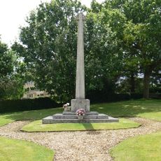
East Knoyle War Memorial
3.4 km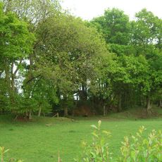
Castle Rings
2.2 km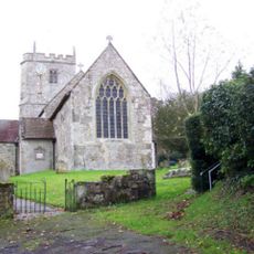
Church of St Mary
3.4 km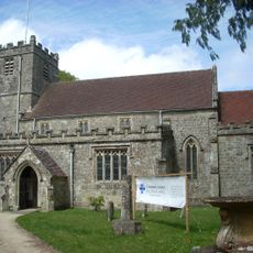
Church of St Andrew
4.2 km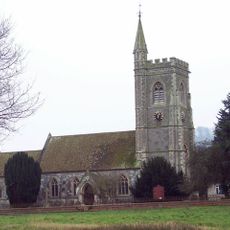
Church of St Leonard
1.2 km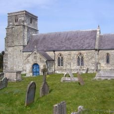
Church of St Katherine
1.7 km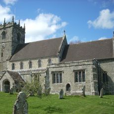
Church of St Mary
3.8 km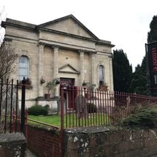
Shaftsbury Congregational Church
4.4 km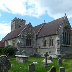
Church of St Mary
3.7 km
The Kings Arms Public House
4.5 km
Wardour Castle Chapel
4.7 km
Pender Monument In The Churchyard, About 10 Metres South Of The Church Of St Andrew
4.2 km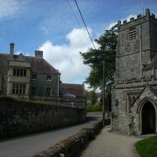
Donhead House
4.1 km
Church Cottage
3.8 km
Entrance To Oldmarket Playhouse And Arts Centre
4.5 km
No 40 (Lavinia's Cottage) And No 39
3.5 km
Carpenters
3.4 km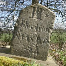
Milestone About 200 Metres North Of Junction With Street Lane
1.1 km
Milestone About 50 Metres South Of St Denys
2 km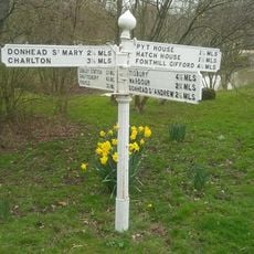
Guide Post Opposite North West Entrance To Churchyard Of Church Of St Leonard
1.2 km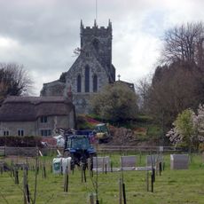
The Croft
3.8 km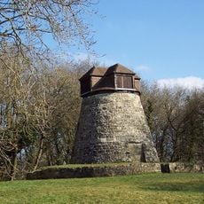
Windmill
3.9 km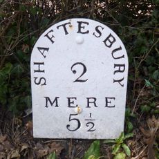
Milepost, opp. village hall exit
3.5 km
Milestone, northern end of village, just E of 90 degree bend, by entrance to some farm buildings
3.7 kmReviews
Visited this place? Tap the stars to rate it and share your experience / photos with the community! Try now! You can cancel it anytime.
Discover hidden gems everywhere you go!
From secret cafés to breathtaking viewpoints, skip the crowded tourist spots and find places that match your style. Our app makes it easy with voice search, smart filtering, route optimization, and insider tips from travelers worldwide. Download now for the complete mobile experience.

A unique approach to discovering new places❞
— Le Figaro
All the places worth exploring❞
— France Info
A tailor-made excursion in just a few clicks❞
— 20 Minutes