Blackwell, village and civil parish in Derbyshire Dales district, Derbyshire, England
Location: Derbyshire Dales
Shares border with: Wormhill, Green Fairfield, King Sterndale, Chelmorton, Taddington
GPS coordinates: 53.24500,-1.81300
Latest update: March 31, 2025 02:40

Slow Train
1.7 km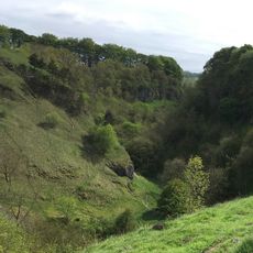
Deep Dale
2.9 km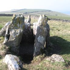
Five Wells
991 m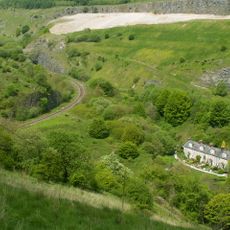
Blackwell Mill
1.5 km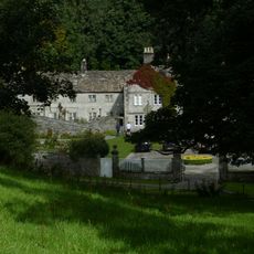
Wormhill Hall
2.1 km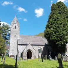
St Margaret's Church, Wormhill
2.2 km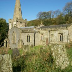
Church of St John the Baptist
2 km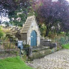
The Brindley Memorial Fountain
2.3 km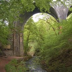
Millers Dale Bridge 75
1.4 km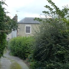
Elm Tree House
2.5 km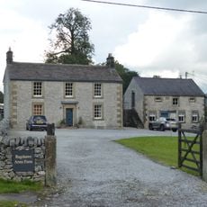
House To The East Of Bateman's Farm
2.4 km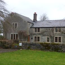
Green Farmhouse
3.1 km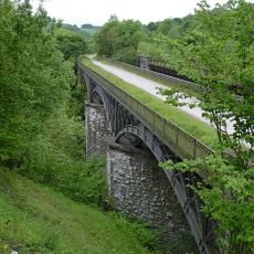
South Viaduct
1.8 km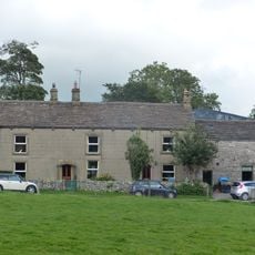
Knotlow Farmhouse and attached outbuilding
2.3 km
The Vicarage
2.2 km
Outbuilding To The South South East Of House To The East Of Bateman's Farm (Item 5/64)
2.3 km
Chapelsteads Farmhouse
2 km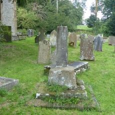
Former Village Cross In St Margaret's Churchyard
2.2 km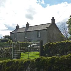
Hassop Farmhouse
2 km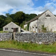
Outbuilding To The South Of Chapelsteads Farmhouse
1.9 km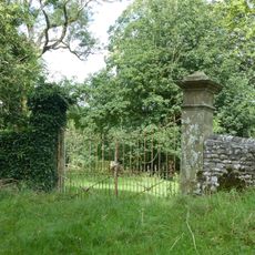
Outer Gate Piers At Wormhill Hall
2 km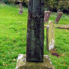
Churchyard cross 10 metres south of south transept of church
2 km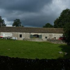
Barn To South South East Of Knotlow Farmhouse
2.3 km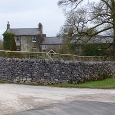
House And Cottages To The South West Of Green Farmhouse
3.1 km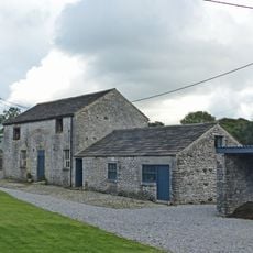
Outbuilding to the south west of house to the east of Batemans Farm
2.3 km
Highcliffe Farmhouse And Attached Barn
625 m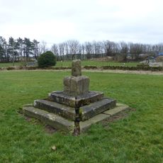
Village Cross
3 km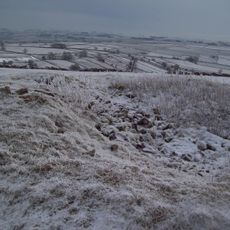
Two bowl barrows on Chelmorton Low
1.8 kmVisited this place? Tap the stars to rate it and share your experience / photos with the community! Try now! You can cancel it anytime.
Discover hidden gems everywhere you go!
From secret cafés to breathtaking viewpoints, skip the crowded tourist spots and find places that match your style. Our app makes it easy with voice search, smart filtering, route optimization, and insider tips from travelers worldwide. Download now for the complete mobile experience.

A unique approach to discovering new places❞
— Le Figaro
All the places worth exploring❞
— France Info
A tailor-made excursion in just a few clicks❞
— 20 Minutes