South Circular Road, Ring road in South London, England
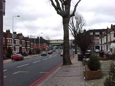
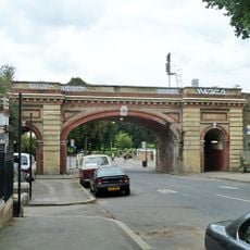
The South Circular Road is a ring route in South London running from Woolwich Ferry to Chiswick Flyover and crossing several London boroughs. It winds through residential and commercial districts using existing urban streets with level intersections rather than elevated sections.
Construction of the first section near Eltham started in 1921, with remaining segments added gradually through the 1930s. Earlier streets were integrated into the ring network rather than being purpose-built as a single project.
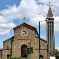
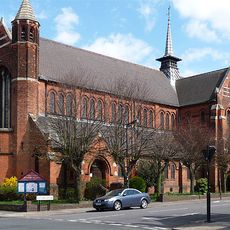
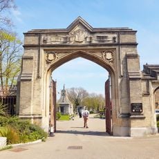
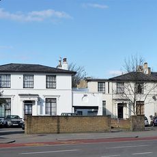
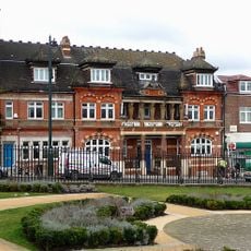
The road passes through varied neighborhoods like Eltham, Catford, and Dulwich, each with local shops, pubs, and markets that define daily life. These areas show how different South London communities live and use their spaces.
The road lets travelers cross South London without going through the city center, which saves time for longer journeys across the region. Multiple bus services run along or near the route, making public transport a practical option for getting around.
Unlike its northern counterpart, this route consists mostly of existing urban streets with level intersections instead of purpose-built carriageways. This patchwork of existing roads keeps it closer to local neighborhoods rather than cutting across them.
Location: Royal Borough of Greenwich
Location: London Borough of Richmond upon Thames
Location: London Borough of Southwark
Location: London Borough of Wandsworth
Location: London Borough of Lambeth
Location: London Borough of Lewisham
GPS coordinates: 51.44050,-0.10980
Latest update: December 7, 2025 09:28
South London Theatre
1.1 km
St Luke's Church, West Norwood
989 m
All Saints Church, West Dulwich
883 m
Pullman Court
1 km
Sts Simon and Jude Catholic Church, Streatham Hill
407 m
Former Streatham Hill Theatre
1.1 km
St Peter's Church
1 km
Holy Trinity Church
508 m
Christ Church
932 m
Church of St Margaret
721 m
Odeon Balham
876 m
West Norwood Memorial Park Walls, Iron Fences, Railings, Gate Piers And Gates On West And South Sides
989 m
West Norwood Memorial Park Tomb Of Eleanor Everidge And Family
942 m
Tritton Clock Tower Approximately 70 Metres West South West Of Brockwell Hall
941 m
West Norwood War Memorial
895 m
West Norwood Memorial Park Entrance Arches And Gates To Memorial Park
948 m
Wall And Gate Piers Around Churchyard Of St Luke
982 m
West Norwood Memorial Park Mausoleum Of Alfred And Elizabeth
958 m
Brockwell Hall
994 m
Gothic Lodge
1 km
West Norwood Memorial Park Mausoleum Of The Vallianos Family In The Greek Burial Ground
1.1 km
West Norwood Memorial Park Tomb Of James William Gilbart
986 m
Railway Bridge North West Of Junction With Guernsey Grove
1 km
44, Streatham Hill Sw2
1.1 km
West Norwood Memorial Park Tomb Of John Britton
979 m
Boundary Wall And Railings On North Side And In North West Corner Of West Norwood Memorial Park
889 m
Old Library Building
930 m
40 And 42, Streatham Hill Sw2
1.1 kmReviews
Visited this place? Tap the stars to rate it and share your experience / photos with the community! Try now! You can cancel it anytime.
Discover hidden gems everywhere you go!
From secret cafés to breathtaking viewpoints, skip the crowded tourist spots and find places that match your style. Our app makes it easy with voice search, smart filtering, route optimization, and insider tips from travelers worldwide. Download now for the complete mobile experience.
A unique approach to discovering new places❞
— Le Figaro
All the places worth exploring❞
— France Info
A tailor-made excursion in just a few clicks❞
— 20 Minutes