Anchor Church, Cave church in Ingleby, GB
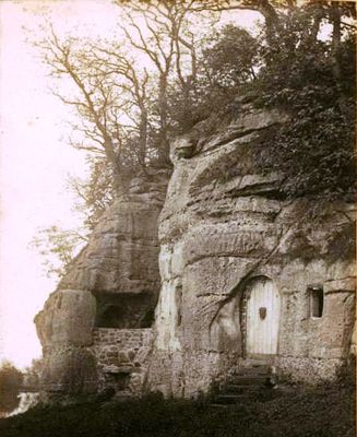
Anchor Church is a cave church near Repton made of four separate chambers carved into a steep bank of conglomerate rock with sandstone layers. The underground complex contains rooms of varying sizes that could serve different functions.
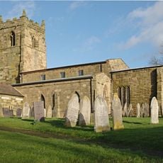
The first written record appears in the 1658 Repton Church Register, which documents someone seeking shelter at the site. The exact time when the cave was originally created remains unclear, though it may have a much older history.
The rock-cut chambers show architectural styles that may connect to the Saxon period and religious figures like St. Hardulph. These spaces reflect a long tradition of use for spiritual or private purposes.
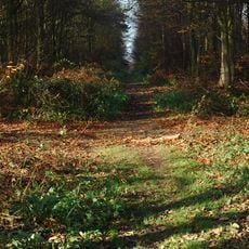
You can reach the site on foot using walking paths in the area, and sturdy footwear is helpful since the ground can be uneven. As a Grade II listed building, the site is protected to keep its structure safe, so some areas may have restricted access.
In the 1700s, Sir Robert Burdett adapted some rock chambers into dining rooms for entertaining guests, as shown in a 1745 painting. This shows how the ancient structure was reused for completely different purposes over time.
The community of curious travelers
AroundUs brings together thousands of curated places, local tips, and hidden gems, enriched daily by 60,000 contributors worldwide.