Enable Location

We need your location to show you interesting places around you

Discover nearby places

Find interesting locations and hidden gems around you

Precise directions

Get accurate directions and distances to places

Your location is never shared with other users. It's only used when you tap the location button.

Barrow Camera

Log in to your account

Start exploring — it's free

Trusted by 62,846 travelers worldwide

Continue with Google
Continue with Apple
or

We will send you a code to connect

By continuing, you accept our Terms and Conditions and our Privacy Policy

Check your inbox

We've sent a pincode in your inbox. Please enter the code below.

Barrow Camera

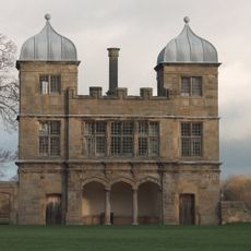
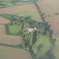
Barrow Camera, Medieval monastery in Barrow upon Trent, England.

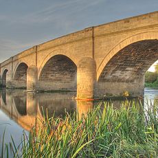
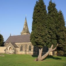
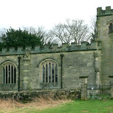
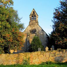
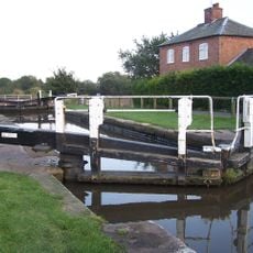
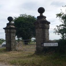
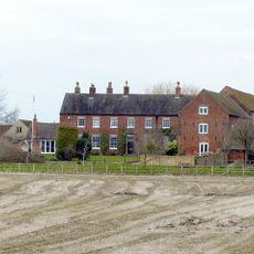
Barrow Camera is a medieval monastery situated between the River Trent and the Trent and Mersey Canal in South Derbyshire. The grounds contain church buildings and associated structures typical of religious communities from the medieval period.

The Knights Hospitaller took control of the religious establishment in 1165, directing its growth and operations through the medieval period. Their management ended in 1540 during the dissolution of monasteries in England.

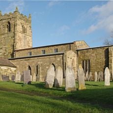
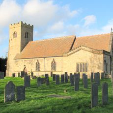
St Wilfrid's Church holds one of England's earliest alabaster effigies, carved to honor a local priest and showing the craftsmanship of medieval artisans. Such fine stone carvings reflect the importance of the religious community that once thrived here.

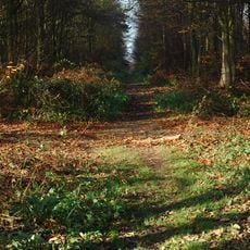
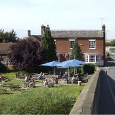
The site connects to walking paths that lead through the surrounding countryside and along the canal, making it accessible to visitors on foot. Ground conditions vary with the season, so sturdy footwear is advisable for exploring the area.

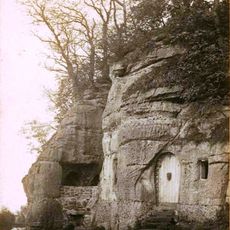
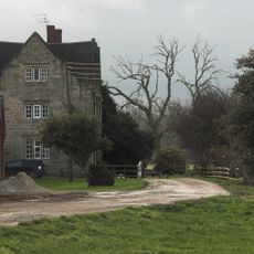
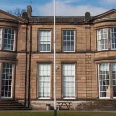
The grounds include ten Grade II listed cottages known as 'The Row', which the parish council lets only to people with connections to the village. This arrangement preserves housing for those with local ties, making it an unusual example of community-based tenancy.

The community of curious travelers

AroundUs brings together thousands of curated places, local tips, and hidden gems, enriched daily by 60,000 contributors worldwide.

Start exploring
GPS coordinates
52.86300,-1.50100
Latest update
December 14, 2025 17:01
Around this place
Swarkestone Bridge
United Kingdom

Swarkestone Bridge

3.4 km
Anchor Church
United Kingdom

Anchor Church

2.4 km
Foremarke Hall
United Kingdom

Foremarke Hall

3.1 km
Heath Wood barrow cemetery
United Kingdom

Heath Wood barrow cemetery

4 km
Swarkestone Hall Pavilion
United Kingdom

Swarkestone Hall Pavilion

3.9 km
St Giles' Church, Normanton, Derby
United Kingdom

St Giles' Church, Normanton, Derby

4 km
Church of St Wilfrid
United Kingdom

Church of St Wilfrid

2 km
St Saviour's Church, Foremark
United Kingdom

St Saviour's Church, Foremark

3.2 km
Church of St Michael
United Kingdom

Church of St Michael

3.9 km
Church of St Andrew
United Kingdom

Church of St Andrew

1.4 km
St James’ Church, Swarkestone
United Kingdom

St James’ Church, Swarkestone

3.6 km
Church of All Saints
United Kingdom

Church of All Saints

2.9 km
Normanton War Memorial, Derby
United Kingdom

Normanton War Memorial, Derby

4.1 km
Swarkestone Lows round barrow cemetery and part of an aggregate field system 300m north west of The Lowes Farm
United Kingdom

Swarkestone Lows round barrow cemetery and part of an aggregate field system 300m north west of The Lowes Farm

3 km
Stenson Lock And Attached Bridge To East
United Kingdom

Stenson Lock And Attached Bridge To East

1.2 km
Ingleby Toft
United Kingdom

Ingleby Toft

3.6 km
Trent And Mersey Canal Lowes Bridge
United Kingdom

Trent And Mersey Canal Lowes Bridge

2.8 km
Trent and Mersey Canal Swarkestone Lock and Bridge
United Kingdom

Trent and Mersey Canal Swarkestone Lock and Bridge

3.5 km
Crewe And Harpur Arms
United Kingdom

Crewe And Harpur Arms

3.3 km
Barrow upon Trent War Memorial at Twyford Road, Barrow-upon-Trent
United Kingdom

Barrow upon Trent War Memorial at Twyford Road, Barrow-upon-Trent

1.9 km
Canal Bridge At Os 321300
United Kingdom

Canal Bridge At Os 321300

1.6 km
Swarkestone Hall Farmhouse
United Kingdom

Swarkestone Hall Farmhouse

3.9 km
Pair Of Gate Piers To North West Of Swarkestone Hall At Sk 372 287
United Kingdom

Pair Of Gate Piers To North West Of Swarkestone Hall At Sk 372 287

3.6 km
Derby Independent Grammar School
United Kingdom

Derby Independent Grammar School

4 km
Trent And Mersey Canal, Canal Milepost At Swarkestone Stop Sk 368 291
United Kingdom

Trent And Mersey Canal, Canal Milepost At Swarkestone Stop Sk 368 291

3.2 km
Lowes Farmhouse And Attached Farm Buildings
United Kingdom

Lowes Farmhouse And Attached Farm Buildings

2.7 km
Twyford henge and Round Hill bowl barrow
United Kingdom

Twyford henge and Round Hill bowl barrow

1.3 km
Milepost, N of Cuttle Bridge
United Kingdom

Milepost, N of Cuttle Bridge

3.9 km
Show the full map
« Barrow Camera - Medieval monastery in Barrow upon Trent, England » is provided by Around Us (aroundus.com). Images and texts are derived from Wikimedia project under a Creative Commons license. You are allowed to copy, distribute, and modify copies of this page, under the conditions set by the license, as long as this note is clearly visible.

Discover hidden gems everywhere you go!

From secret cafés to breathtaking viewpoints, skip the crowded tourist spots and find places that match your style. Our app makes it easy with voice search, smart filtering, route optimization, and insider tips from travelers worldwide. Download now for the complete mobile experience.

Around Us App Screenshot

A unique approach to discovering new places

Le Figaro

All the places worth exploring

France Info

A tailor-made excursion in just a few clicks

20 Minutes

Around Us
Travel Guide & Maps
Download

Send to your phone

QR Code
1

Open the camera app on your mobile.

2

Point at the QR code with your camera. A notification will appear.

3

Tap the notification to open the link.