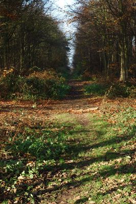
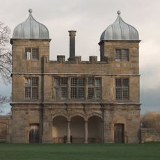
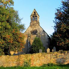
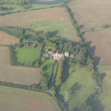
Heath Wood barrow cemetery, Viking burial site in Ingleby, England
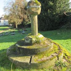
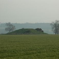
Heath Wood is a Viking burial ground in Ingleby containing 59 circular earthen mounds arranged in four distinct groups with heights ranging from 0.2 to 1.4 meters. The site displays the varying sizes and spatial patterns of these ancient structures spread across the landscape.
The cemetery was established following the arrival of Vikings from the Great Army in the region around 873 AD. Archaeological investigations reveal that this burial ground offers key evidence about the settlement and burial system of these Scandinavian warriors.
The burial mounds reflect Viking funeral practices where bodies were cremated and personal belongings were placed within the earthen structures. This allows visitors today to understand how these Scandinavian settlers honored and said farewell to their dead.
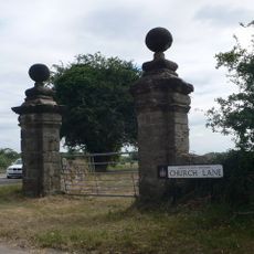
The site is managed by the Forestry Commission and remains accessible to visitors interested in viewing the mound formations and their arrangement. It is wise to exercise caution during wet weather, as the ground can be uneven and potentially slippery.
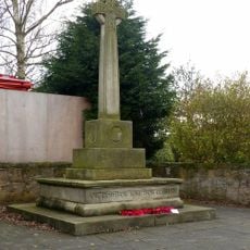
This is the only known Scandinavian cremation cemetery found within the British Isles and contains both filled graves and empty cenotaphs representing different burial circumstances. This blend of burial types provides rare insight into the varying practices these early settlers employed.
The community of curious travelers
AroundUs brings together thousands of curated places, local tips, and hidden gems, enriched daily by 60,000 contributors worldwide.