Belvide Reservoir, Canal feeder reservoir and nature reserve in south Staffordshire, England.
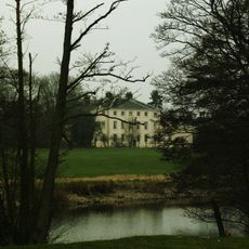
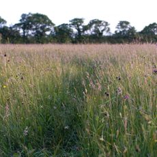
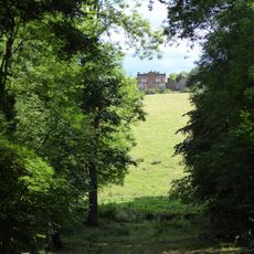
Belvide Reservoir is a large body of water in South Staffordshire surrounded by open fields and reed beds. The water stretches across a significant area with woodland and wetland habitats around it, creating spaces for ducks, diving birds, terns, and wading birds to feed and nest.
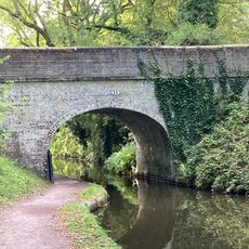
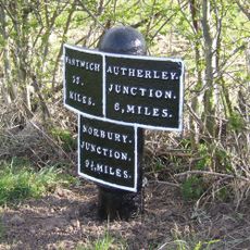
The reservoir was built in 1833 to supply water to the Birmingham and Liverpool Junction Canal. From the 1920s onward, bird watchers like A.W. Boyd documented the diverse bird species found here, bringing attention to its value for ornithology and leading to its protection as a nature reserve managed by the local bird club.
The reservoir is a gathering place where bird watchers share sightings and observations about local wildlife. The local bird club manages the site and organizes regular visits and events for members interested in observing the different species that visit throughout the year.
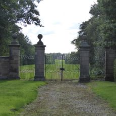
Access to the reserve is limited to members of the local bird club and organized groups who must arrange visits in advance through the managing club. The entrance gate requires a code provided through membership, and visitors should stay on designated paths while respecting restrictions on the dam and north shore to protect nesting birds.
A notable feature is the valve house with its round metal dome sitting atop a brick structure, designed by engineer Thomas Telford. This building with original parts still intact links the reservoir's canal management heritage to its current role as a bird watching destination.
The community of curious travelers
AroundUs brings together thousands of curated places, local tips, and hidden gems, enriched daily by 60,000 contributors worldwide.