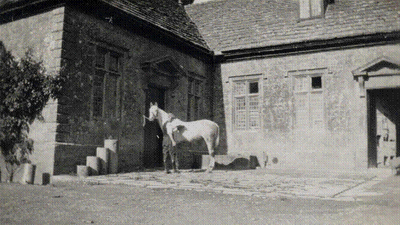
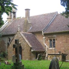
Stable block about 70 metres west of Brympton House, Grade I listed stable block in Brympton, United Kingdom.
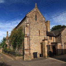
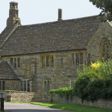
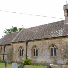
The stable block about 70 meters west of Brympton House is a rectangular stone building from the Georgian era with evenly arranged windows and a central entrance. A tower with clock mechanism rises above the middle of the facade and forms the architectural focal point of the complex.
The building was constructed in the 18th century as part of the agricultural operating structure of Brympton House and served to house horses and carriages. Its inclusion in the highest heritage protection class honors its importance as testimony to Georgian architecture in Somerset.
The block's name recalls a time when horses were part of everyday life on English country estates and such service buildings received the same careful design as the manor houses themselves. Today you can still see how the ordered arrangement of rooms reflected the social order of that period.
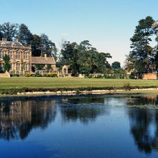
You reach the building via the main paths of the estate, which lead west from Brympton House and allow views of the facade at several points. Access depends on the opening hours of the overall grounds, so it is advisable to inquire beforehand about visiting opportunities.
The original clock mechanism in the tower still strikes the hours and connects the building with over two centuries of timekeeping in the countryside. Few visitors know that such tower clocks often also served as orientation points for workers in the surrounding fields.
The community of curious travelers
AroundUs brings together thousands of curated places, local tips, and hidden gems, enriched daily by 60,000 contributors worldwide.