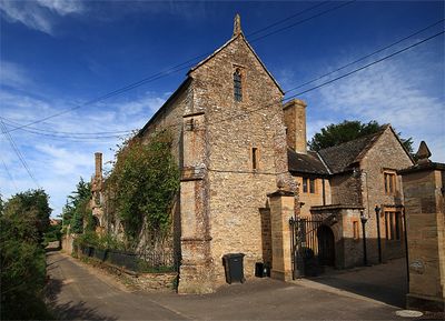
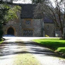
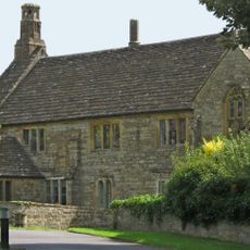
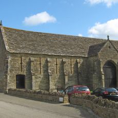
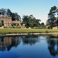
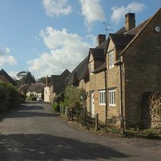
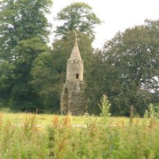
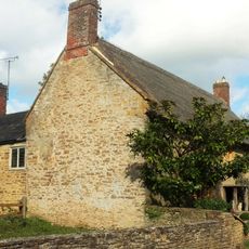
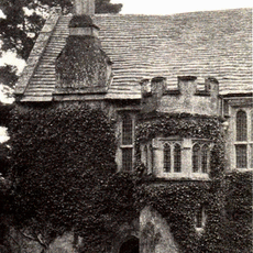
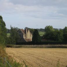
Naish Priory, Medieval priory in East Coker, England
Naish Priory is a building in East Coker featuring architectural elements from the 14th century, including a notable door and various communal spaces within its stone structure. Its Grade I listing reflects the architectural and historical importance of the site.
The building was founded in 1301 but received its name later from Troyte Chafyn Grove, who owned it in the late 19th century. Despite the name, there is no evidence of an actual monastic community at this location.
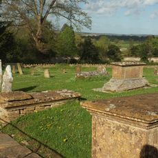
The site held connections to the de Courtenay family, Earls of Devon, who dedicated the buildings for prayer in 1344. This link to nobility shaped how the place was valued in the region.
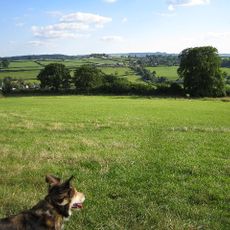
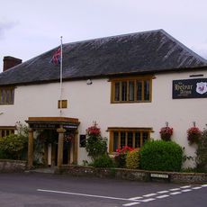
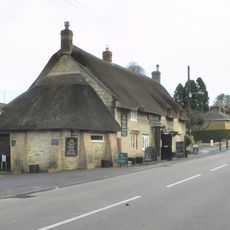
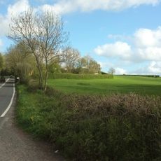
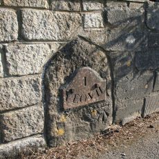
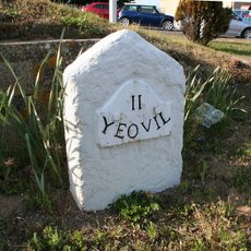
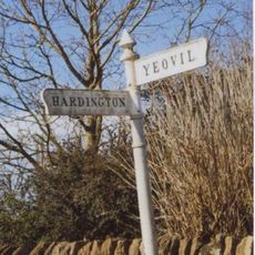
The building sits along a 4-mile circular walking route that starts from the village hall and connects several local sights. When visiting, wear proper footwear and allow time to walk the full route at an easy pace.
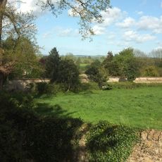
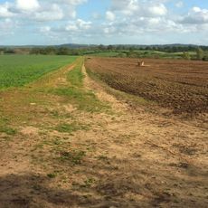
The farm on the grounds produced hemp yarn for naval shipments in the 1350s and was among the first locations in Somerset affected by plague. This dual history links economic activity with a tragic turning point in the region.
Location: East Coker
Inception: 14 century
GPS coordinates: 50.92060,-2.66222
Latest update: December 10, 2025 20:06
Stable block about 70 metres west of Brympton House
2.3 km
Church of Saint Michael
1.5 km
Coker Court
1.5 km
Abbey Farm House, Yeovil
2.7 km
Helyar Almshouses
1.4 km
Hardington Moor
2.2 km
Church of Saint Martin of Tours
1.9 km
Abbey Barn, Yeovil
2.6 km
St Andrew's Church
2.4 km
Church of St James with Its South Boundary Wall
2.6 km
Church of Saint Mary Magdalene
2.3 km
Brympton House
2.4 km
Helyar Arms Public House
1.4 km
Milestone, Built Into Boundary Wall, Four Acres Hotel
1.7 km
The Castle Public House
2.1 km
Needle Obelisk At Ngr St 559 129
2.5 km
Silverweed Cottage
1.5 km
Jack The Treacle Eater
2.8 km
The Walls To The Kitchen Garden, Approximately 30 Metres North North West Of Coker Court
1.5 km
Milestone In Boundary Wall
1.6 km
Slade's Farm House
1.6 km
Goodman Chest Tomb, In The Churchyard 1.5 Metres North Of The North Porch, Church Of Saint Michael
1.5 km
Barn, 50 Metres North Of Key Farm House
2.1 km
The Chantry House The Dower House
2.4 km
Milestone, 83M South-West Of The Junction Between West Coker Road (A30) And Camp Road
746 m
Signpost At Ngr 51871219
2.2 km
Pavyotts Mill House
1.7 km
1 and 3, East Street
1.7 kmVisited this place? Tap the stars to rate it and share your experience / photos with the community! Try now! You can cancel it anytime.
Discover hidden gems everywhere you go!
From secret cafés to breathtaking viewpoints, skip the crowded tourist spots and find places that match your style. Our app makes it easy with voice search, smart filtering, route optimization, and insider tips from travelers worldwide. Download now for the complete mobile experience.
A unique approach to discovering new places❞
— Le Figaro
All the places worth exploring❞
— France Info
A tailor-made excursion in just a few clicks❞
— 20 Minutes