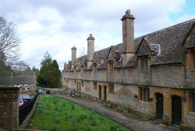
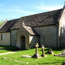
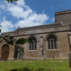
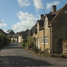
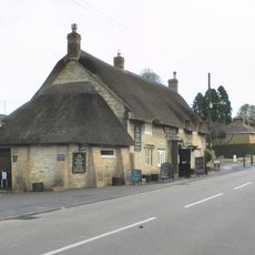
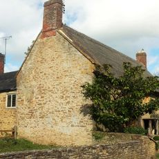
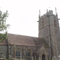
Helyar Almshouses, Grade II listed almshouse in East Coker, England.
Helyar Almshouses form a row of twelve individual homes in East Coker, England, built in the seventeenth-century style. They stand close together and display typical construction methods and materials from that period.
William Helyar, a church official, initiated construction between 1640 and 1660, though epidemics and armed conflict repeatedly delayed the project. The undertaking grew from a desire to provide shelter for people in difficult circumstances.
These almshouses represent a traditional system of community support that still operates today, providing housing for people facing hardship. They show how local care for vulnerable residents was once organized through charitable giving.
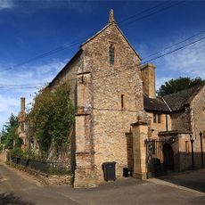
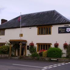
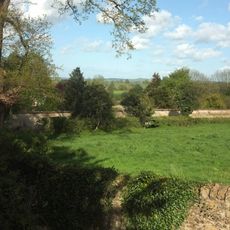
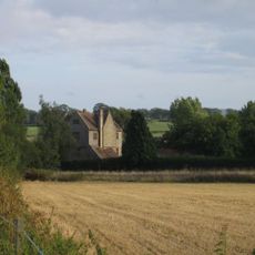
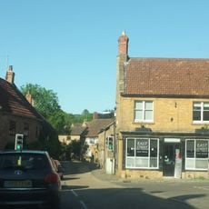
The ensemble sits in a rural setting and is visible from the public pathway, making it relatively straightforward to locate. The buildings remain occupied and well-maintained, so visitors should be respectful of residents' privacy.
The buildings were constructed during a turbulent period when crises and disease repeatedly halted progress on the project. Yet they have endured and continue to tell the story of those early charitable efforts.
Location: East Coker
GPS coordinates: 50.90860,-2.65648
Latest update: December 14, 2025 18:20
Naish Priory
1.4 km
Church of Saint Michael
155 m
Coker Court
267 m
Church of All Saints, Sutton Bingham
1.5 km
Hardington Moor
2.5 km
Church of Saint Martin of Tours
2.6 km
Church of Saint Roch
2.7 km
Church of Saint Mary Magdalene
2.4 km
Church of Saint Mary
2.7 km
Church of All Saints, Closworth
3.3 km
Helyar Arms Public House
165 m
Milestone, Built Into Boundary Wall, Four Acres Hotel
2.4 km
Needle Obelisk At Ngr St 559 129
2.1 km
Silverweed Cottage
203 m
The Castle Public House
2.7 km
Jack The Treacle Eater
3 km
Milestone In Boundary Wall
2.6 km
The Walls To The Kitchen Garden, Approximately 30 Metres North North West Of Coker Court
79 m
Slade's Farm House
267 m
Goodman Chest Tomb, In The Churchyard 1.5 Metres North Of The North Porch, Church Of Saint Michael
139 m
Barn, 50 Metres North Of Key Farm House
2 km
Signpost At Ngr 51871219
2.1 km
Pavyotts Mill House
1.5 km
Milestone, 83M South-West Of The Junction Between West Coker Road (A30) And Camp Road
2.1 km
1 and 3, East Street
2.4 km
Collins Chest Tomb, 2 Metres South Of The South East Nave Window, Church Of All Saints
3.3 km
Milestone, Stoford village, opp. Garage
3 km
Sutton Bingham Reservoir
1.5 kmVisited this place? Tap the stars to rate it and share your experience / photos with the community! Try now! You can cancel it anytime.
Discover hidden gems everywhere you go!
From secret cafés to breathtaking viewpoints, skip the crowded tourist spots and find places that match your style. Our app makes it easy with voice search, smart filtering, route optimization, and insider tips from travelers worldwide. Download now for the complete mobile experience.
A unique approach to discovering new places❞
— Le Figaro
All the places worth exploring❞
— France Info
A tailor-made excursion in just a few clicks❞
— 20 Minutes