Brennand Farm, Agricultural estate in Forest of Bowland, United Kingdom
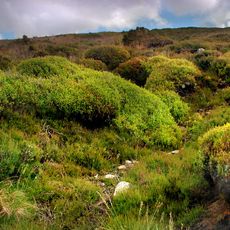
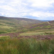
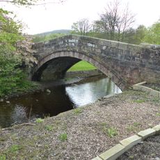
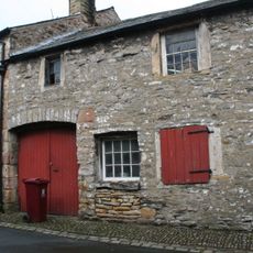
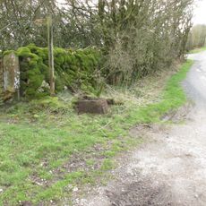
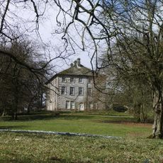
Brennand Farm is an agricultural property set in a valley just north of Dunsop Bridge within the Forest of Bowland region. Public footpaths run across the land, allowing visitors to see the working layout and pastoral character of this farm nestled in the hills.
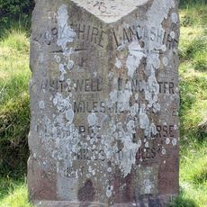
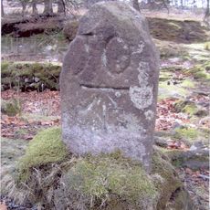
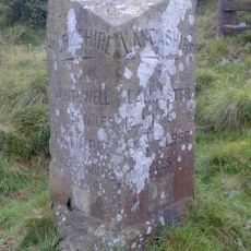
The farm entered public awareness through mathematical calculations that linked it to a computed geographic center of Great Britain. This discovery brought scientific attention to an area previously known mainly for its farming heritage.
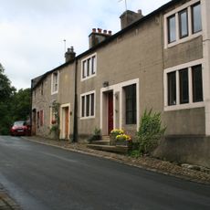
The farm reflects how agriculture shapes the daily life and landscape of this rural corner of England. Public paths crossing the land connect visitors to the working rhythms and pastoral character that define the region.
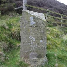
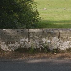
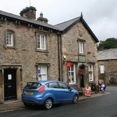
This location is best explored on foot using the well-marked public footpaths that cross the property and surround the area. Dunsop Bridge village, located a short distance to the southwest, provides parking and facilities as a convenient starting point.
A distinctive red telephone box from British Telecom stands in nearby Dunsop Bridge with a plaque marking the calculated geographic point. This rural landmark has become an unexpected destination for visitors interested in this mathematical curiosity.
The community of curious travelers
AroundUs brings together thousands of curated places, local tips, and hidden gems, enriched daily by 60,000 contributors worldwide.