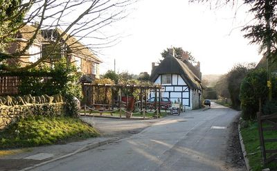
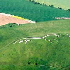
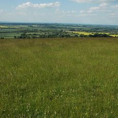
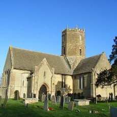
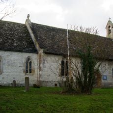
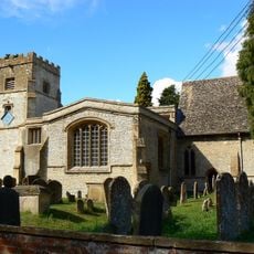
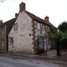
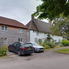
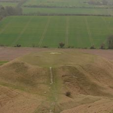
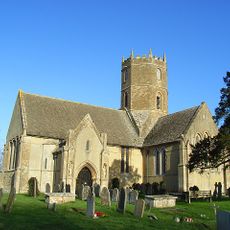
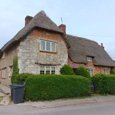
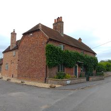
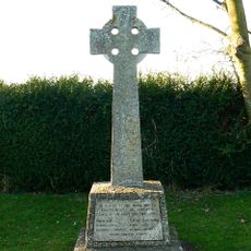
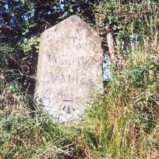
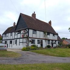
Kingston Lisle, village and civil parish in Vale of White Horse, Oxfordshire, England
The community of curious travelers
AroundUs brings together thousands of curated places, local tips, and hidden gems, enriched daily by 60,000 contributors worldwide.
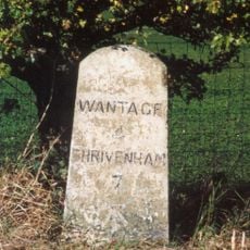
Location
Shares border with
Uffington, Sparsholt, Baulking
Website
GPS coordinates
51.58600,-1.53200
Latest update
March 12, 2025 04:29