Berkshire Downs, Chalk hill chain in Berkshire, England
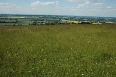
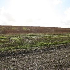
Berkshire Downs is a chalk hill chain running from east to west with a steep northern slope facing the Vale of White Horse. The southern edge is marked by the River Kennet, which forms a natural boundary for the hills.
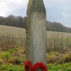
The region was called Æscesdūn during Anglo-Saxon times and hosted the Battle of Ashdown in 871 between Saxon and Danish forces. This conflict marked a major moment in the struggle for control of early medieval England.
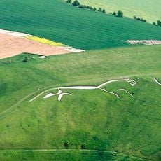
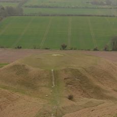
The ancient Ridgeway path runs across these hills, linking prehistoric sites and the Uffington White Horse carved into the chalk slope. This route shows how people have walked and traveled through this landscape for thousands of years.
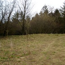
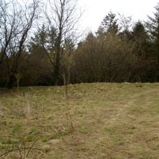
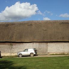
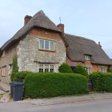
The hills are easy to navigate and offer many paths for walking and exploration across different routes. The well-drained pastures make walking straightforward and the area is accessible year-round.
The Goring Gap is a cut carved by the River Thames that separates the Berkshire Downs from the Chiltern Hills to the east. This natural opening creates a striking transition between two different hill landscapes.
Location: Berkshire
Made from material: chalk
GPS coordinates: 51.57500,-1.57000
Latest update: December 10, 2025 15:59
Uffington White Horse
375 m
Wayland's Smithy
2 km
Uffington Castle
52 m
Blowing Stone
2.6 km
Compton Beauchamp House
2 km
Tom Brown’s School Museum
2.9 km
Hardwell Castle
1.3 km
Church of St Swithun
2.1 km
Church of St John the Baptist
3 km
Church of St Mary
3 km
Church of All Saints
1.4 km
The Old Chapel House And Attached Gates
3.2 km
The White Horse Inn
1.6 km
Kingston Lisle Park, The Lodge And Attached Gate Piers
3 km
Hardwell Camp promontory fort
1.2 km
Thornhill House
3.1 km
Manor Farmhouse
3.1 km
Dragon Hill
615 m
Uffington
1.2 km
Knighton Farm, 2 Barns And Linking Range, Approximately 40 Metres North East
1.8 km
Little Farmhouse
3 km
Rams Hill
1.5 km
Compton Beauchamp War Memorial
1.7 km
Kingston Lisle War Memorial
3.4 km
Milestone, Icknield Way; W of Blowing Stone
2.4 km
Milestone, Compton Beauchamp, opp. Post box
2.2 km
Milestone, Icknield Way; W of Britchcombe Farm
1.2 km
Milestone, Icknield Way; W of White Horse car park road
1.1 kmVisited this place? Tap the stars to rate it and share your experience / photos with the community! Try now! You can cancel it anytime.
Discover hidden gems everywhere you go!
From secret cafés to breathtaking viewpoints, skip the crowded tourist spots and find places that match your style. Our app makes it easy with voice search, smart filtering, route optimization, and insider tips from travelers worldwide. Download now for the complete mobile experience.
A unique approach to discovering new places❞
— Le Figaro
All the places worth exploring❞
— France Info
A tailor-made excursion in just a few clicks❞
— 20 Minutes