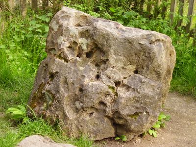
Blowing Stone, Sarsen stone in Kingston Lisle, England.
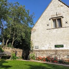
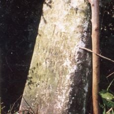
The Blowing Stone is a natural sarsen block in the village of Kingston Lisle, Oxfordshire, pierced by several natural holes that run through its body and produce sounds when air is blown into them. It sits in a small garden beside a road and can be seen from the street.
The stone was first recorded on a map by John Rocque in 1761, placing it early in the regional record. It gained wider recognition after Thomas Hughes mentioned it in his 1857 novel, which brought it to the attention of a much broader audience.
The stone's holes invite visitors to blow into them and produce a low, resonant sound, turning a passive visit into something hands-on. This direct contact with the stone is part of why it has stayed alive in local storytelling and village memory for so long.
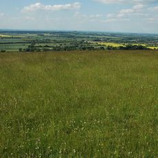
The stone sits close to The Ridgeway National Trail, so walkers on that route can stop by without a long detour. The paths in the area can get muddy after rain, so sturdy footwear is a good idea.
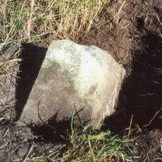
Although the stone now stands in a garden in Kingston Lisle, it was originally located at a different spot in the village and was moved at some point. This means the place where visitors see it today is not where it stood for most of its history.
The community of curious travelers
AroundUs brings together thousands of curated places, local tips, and hidden gems, enriched daily by 60,000 contributors worldwide.