Chest opened
+${chestReward.xp} XP
Explorer
NOUVEAU ×${chestReward.collectible.quantity}
tapez pour fermer

See the monuments around you in AR Open chests in the app

Around Us is built for your phone — point your camera at the streets and discover the monuments and places around you in augmented reality. Around Us is built for your phone — chests unlock when you walk, explore and capture nearby places.

Enable Location

We need your location to show you interesting places around you

Discover nearby places

Find interesting locations and hidden gems around you

Precise directions

Get accurate directions and distances to places

Your location is never shared with other users. It's only used when you tap the location button.

Uffington Castle

Log in to your account

Start exploring — it's free

Trusted by 84,151 travelers worldwide

Continue with Google
Continue with Apple
or

We will send you a code to connect

By continuing, you accept our Terms and Conditions and our Privacy Policy

Check your inbox

We've sent a pincode in your inbox. Please enter the code below.

Discussion Reviews 1 Photos
10.5k Popularity

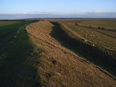
Uffington Castle, Iron Age hillfort in Oxfordshire, England

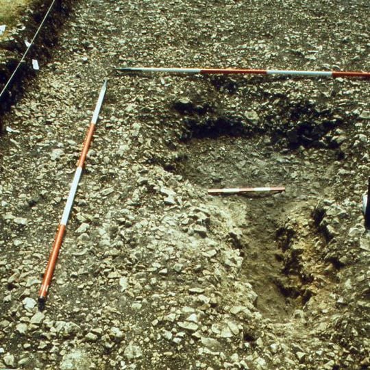
Uffington Castle is a fortified hilltop in Oxfordshire with large ramparts and ditches arranged in rings around the summit. The structure dates to the Iron Age and was later used by Romans and Saxons, with burials near the site showing remains from both periods.

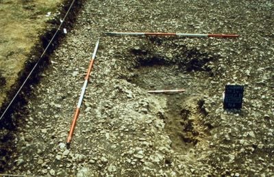
The fort was built between 700 and 800 BCE and featured wooden posts set into its ramparts. Later it was strengthened with a sarsen stone parapet added atop the inner defense line.

The site held meaning for communities long after its construction, serving as a place of gathering and ceremony. You can sense this layered importance as you walk the grounds, where different peoples left traces of their presence over many centuries.

The site is accessible from the top and features marked paths connecting to the nearby landmark. Sturdy footwear is recommended since the ground is uneven and can become slippery when wet.

Two burial mounds near the fort contain remains from two completely different historical periods. This reveals how the spot continued to serve as a burial place for many centuries after the fort itself was no longer actively used.

The community of curious travelers

AroundUs brings together thousands of curated places, local tips, and hidden gems, enriched daily by 60,000 contributors worldwide.
Start exploring
Location
GPS coordinates
51.57943,-1.57352
Latest update
August 23, 2026 18:27
Around this place
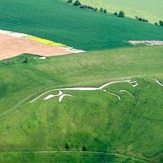
Uffington White Horse
United Kingdom

Uffington White Horse

507 m
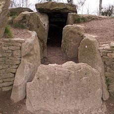
Wayland's Smithy
United Kingdom

Wayland's Smithy

2.1 km
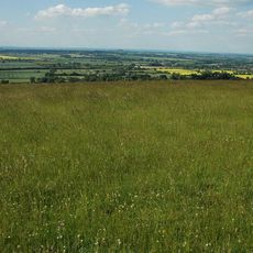
Berkshire Downs
United Kingdom

Berkshire Downs

550 m
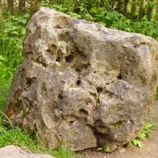
Blowing Stone
United Kingdom

Blowing Stone

2.8 km
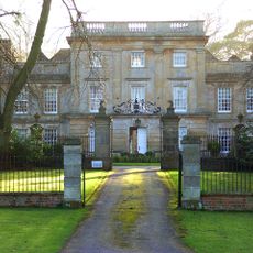
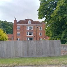
Compton Beauchamp House
United Kingdom

Compton Beauchamp House

1.7 km
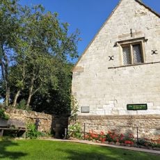
Tom Brown’s School Museum
United Kingdom

Tom Brown’s School Museum

2.5 km
Hardwell Castle
United Kingdom

Hardwell Castle

955 m
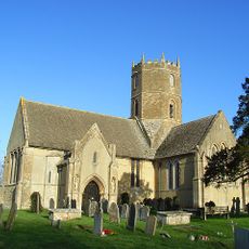
Church of St Swithun
United Kingdom

Church of St Swithun

1.7 km
Church of St John the Baptist
United Kingdom

Church of St John the Baptist

3.1 km
Church of All Saints
United Kingdom

Church of All Saints

813 m
Church of St Mary
United Kingdom

Church of St Mary

2.6 km
Kingston Lisle Park, The Lodge And Attached Gate Piers
United Kingdom

Kingston Lisle Park, The Lodge And Attached Gate Piers

3 km
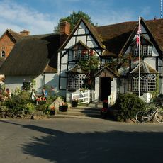
The White Horse Inn
United Kingdom

The White Horse Inn

1 km
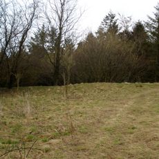
Hardwell Camp promontory fort
United Kingdom

Hardwell Camp promontory fort

899 m
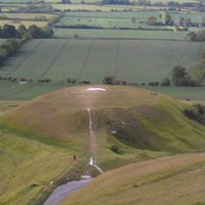
Dragon Hill
United Kingdom

Dragon Hill

430 m
Uffington
United Kingdom

Uffington

965 m
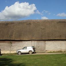
Knighton Farm, 2 Barns And Linking Range, Approximately 40 Metres North East
United Kingdom

Knighton Farm, 2 Barns And Linking Range, Approximately 40 Metres North East

1.5 km
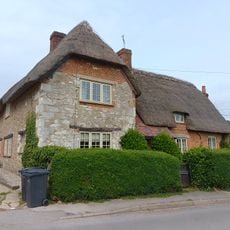
Little Farmhouse
United Kingdom

Little Farmhouse

3 km
United Kingdom

Kingston Lisle House, Gates And Gate Piers Approximately 400 Metres South

2.8 km
United Kingdom

Kingston Lisle House, Gates, Gate-Piers And Walls Approximately 200 Metres South West

3 km
Rams Hill
United Kingdom

Rams Hill

1.9 km
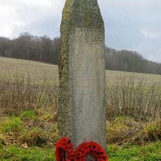
Compton Beauchamp War Memorial
United Kingdom

Compton Beauchamp War Memorial

1.4 km
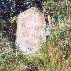
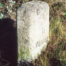
Milestone, Icknield Way; W of Blowing Stone
United Kingdom

Milestone, Icknield Way; W of Blowing Stone

2.6 km
Milestone, Compton Beauchamp, opp. Post box
United Kingdom

Milestone, Compton Beauchamp, opp. Post box

1.9 km
Milestone, Icknield Way; W of Britchcombe Farm
United Kingdom

Milestone, Icknield Way; W of Britchcombe Farm

1.1 km
United Kingdom

Kingston Lisle House, Garden Steps Approximately 15 Metres West

3 km
Milestone, Icknield Way; W of White Horse car park road
United Kingdom

Milestone, Icknield Way; W of White Horse car park road

619 m
United Kingdom

Scenic viewpoint

372 m
Show the full map
Reviews
Share your experience

No review yet

Discussions
Start a discussion...

No discussion yet

« Uffington Castle - Iron Age hillfort in Oxfordshire, England » is provided by Around Us (aroundus.com). Images and texts are derived from Wikimedia project under a Creative Commons license. You are allowed to copy, distribute, and modify copies of this page, under the conditions set by the license, as long as this note is clearly visible.

Discover hidden gems everywhere you go!

From secret cafés to breathtaking viewpoints, skip the crowded tourist spots and find places that match your style. Our app makes it easy with voice search, smart filtering, route optimization, and insider tips from travelers worldwide. Download now for the complete mobile experience.
Around Us App Screenshot

A unique approach to discovering new places

Le Figaro

All the places worth exploring

France Info

A tailor-made excursion in just a few clicks

20 Minutes

Around Us
Travel Guide & Maps
Download

Send to your phone

QR Code
1

Open the camera app on your mobile.

2

Point at the QR code with your camera. A notification will appear.

3

Tap the notification to open the link.