Catrail, Linear earthwork in Scottish Borders, United Kingdom
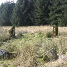
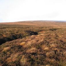
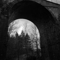
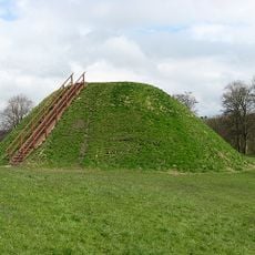
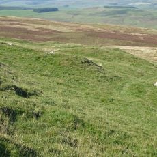
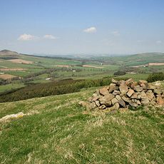
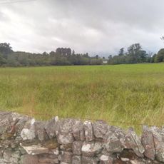
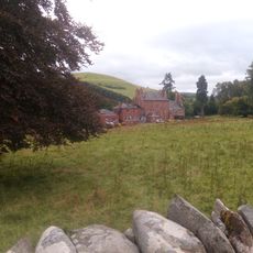
The Catrail is a linear earthwork that extends roughly 19 kilometers from Robert's Linn to Dean Burn, featuring a distinctive ditch structure. The ditch varies in width from 2 to 4 meters and remains visible in areas where vegetation is sparse, appearing as a pronounced ridge across the landscape.
The structure originated in the late 4th and 5th centuries, marking boundaries between regions in what became southern Scotland. This period coincided with shifts in local population groups and the formation of early political structures.
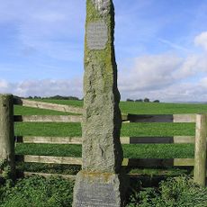
Local communities long referred to this structure as the Picts' Work Ditch, reflecting its connection to ancient Scottish tribal lands. This traditional name shows how people across generations linked the monument to early cultures of the region.
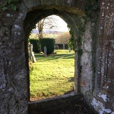
The earthwork is visible in several sections where vegetation is low, offering clear views of the earth structures. Visitors should wear sturdy footwear and exercise caution in wet weather, as the ground can become slippery.
The name Catrail combines Old English words suggesting battle and boundary turning, hinting at its role beyond simple territorial division. This etymological blend reveals that the structure served strategic purposes in controlling movement across the landscape.
The community of curious travelers
AroundUs brings together thousands of curated places, local tips, and hidden gems, enriched daily by 60,000 contributors worldwide.