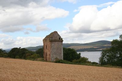
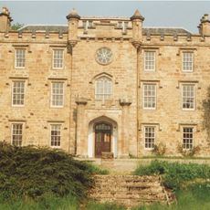
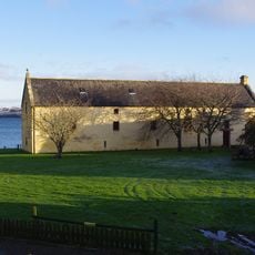
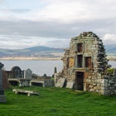
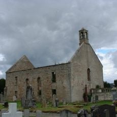
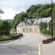
Castlecraig, Medieval tower house in Resolis, Scotland
Castlecraig is a stone tower house in Resolis, in the Scottish Highlands, listed as both a category A building and a scheduled monument. The structure has thick walls and narrow openings typical of fortified medieval residences built in this part of Scotland.
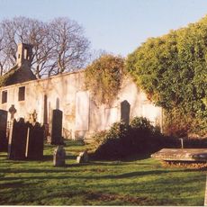
The tower was built by Clan Urquhart during the medieval period, when Scottish noble families needed fortified homes to hold land and assert authority. Over time the building fell out of use and declined into the ruin that survives today.
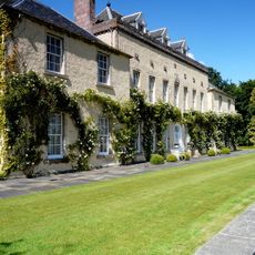
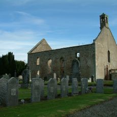
The tower was home to the family that controlled the surrounding lands for generations and served as a center of local power. Buildings like this shaped daily life in the Highlands, as the tower's occupants were responsible for order and protection across the surrounding area.
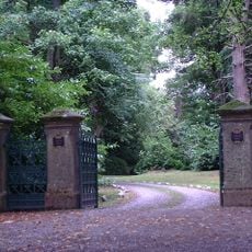
As a scheduled monument, a visit to Castlecraig requires permission from the relevant authorities, so it is worth checking this well in advance. The site sits in open land, so sturdy footwear and weather-appropriate clothing are recommended for any visit.
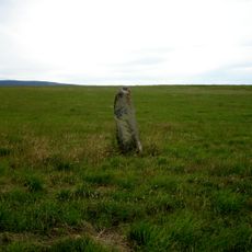
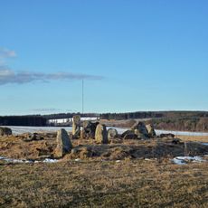
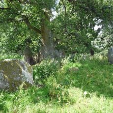
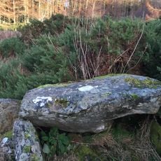
Close by are two much older stone monuments: the Dalnavie stone carved with Pictish symbols and an early Christian cross slab from Nigg. These objects predate the tower by several centuries and show that this corner of the Highlands was already a place of importance long before the medieval period.
The community of curious travelers
AroundUs brings together thousands of curated places, local tips, and hidden gems, enriched daily by 60,000 contributors worldwide.