Cornish Way, Cycle route in Cornwall, England
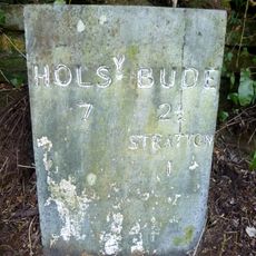
The Cornish Way is a 180-mile (290-kilometer) cycling route that connects Land's End in the west to Bude near the Devon border. The path offers two main options: a northern route through Padstow or a southern route via St Austell, passing through countryside, coastal areas, and mining landscapes.
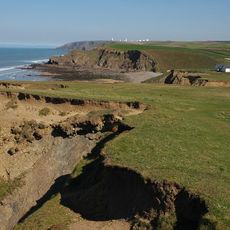
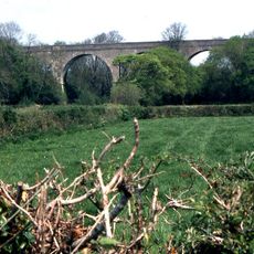
The route was created to incorporate Cornwall's industrial past, with sections following former railway lines that once served mining operations. Key stretches run through the Cornish Mining World Heritage area between Hayle and Truro, where old mine sites remain visible in the landscape.
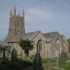
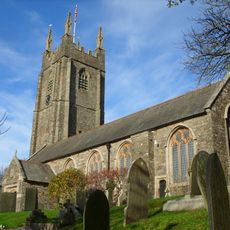
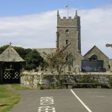
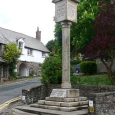
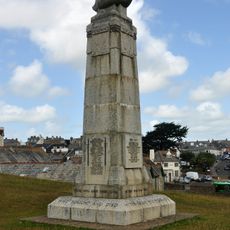
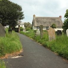
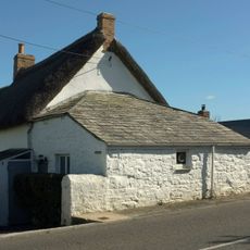
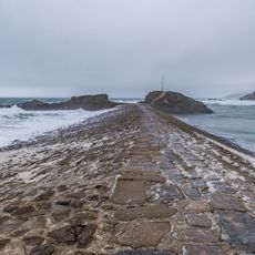
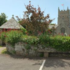
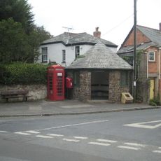
The route passes through fishing villages and farming communities that show how people live in rural Cornwall today. You see local life as it happens along the way, with markets, harbours, and working farms shaping each settlement.
About 29 miles (47 kilometers) of the route are traffic-free, making it safer and allowing you to set your own pace. Be prepared for changing surfaces and some uphill sections, especially on the northern route.
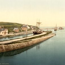
A section of the route follows the Camel Trail, a former railway line running from Padstow to Bodmin alongside the River Camel. This converted railway has become one of the most popular stretches for both walkers and cyclists in the region.
The community of curious travelers
AroundUs brings together thousands of curated places, local tips, and hidden gems, enriched daily by 60,000 contributors worldwide.