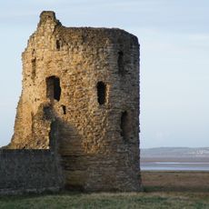
Dee Estuary, Coastal estuary and protected natural site in northwest England and northeast Wales
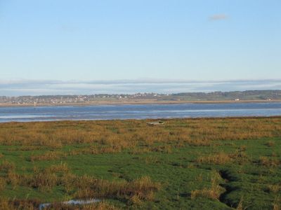
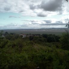
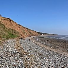
The Dee Estuary is a coastal inlet spanning several miles wide between northwest England and northeast Wales, forming a natural boundary between two regions. Extensive mudflats and saltmarshes dominate the landscape and support large populations of waterfowl and wading birds.
The New Cut was dug in 1737 to improve navigation to Chester, but river silting gradually halted commercial shipping. This natural process transformed the estuary from a major port into a quieter tidal zone.
The shores show different land use patterns, with industrial areas in Wales alongside residential neighborhoods in England. This mix shapes how the landscape looks and how people interact with the space.
The site is legally protected and access requires careful planning since the mudflats can flood quickly. Visitors should check tide times and wear appropriate footwear and clothing, as conditions change rapidly.
The estuary serves as a transport route for aircraft components, particularly large aircraft wings, which are carried by barge to dock facilities. This unexpected industrial use links a natural protection zone with modern supply chain operations.
The community of curious travelers
AroundUs brings together thousands of curated places, local tips, and hidden gems, enriched daily by 60,000 contributors worldwide.