
Dinnington, village and civil parish in Tyne and Wear, UK
Location: Newcastle upon Tyne
GPS coordinates: 55.05400,-1.67540
Latest update: April 13, 2025 09:03

Northumberlandia
4.9 km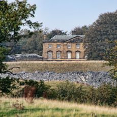
Blagdon Hall
3.8 km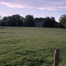
Woolsington Hall
2.6 km
Gosforth House
4.5 km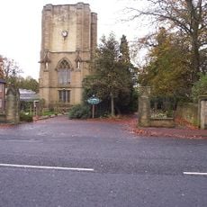
Sacred Heart Church, North Gosforth
3.8 km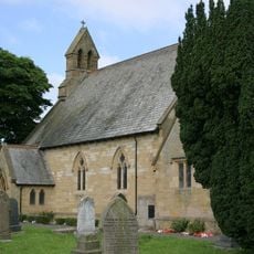
Church of St Matthew
91 m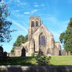
Church of St Mary the Virgin
6.1 km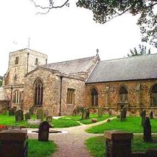
Church of St Mary
4.3 km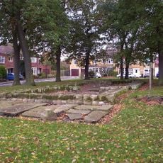
North Gosforth Chapel
5 km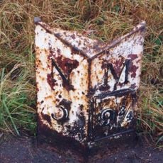
Milestone About 150 Metres South Of Church Of Sacred Heart
3.7 km
Church of St John the Evangelist
4.6 km
The Badger Inn
3.3 km
Entrance Gate Piers To Brandling House And Adjoining Park Walls
4 km
The Blackbird Inn
4.3 km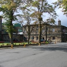
Border Minstrel
4.5 km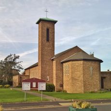
St Aidans
4.3 km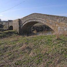
Bellasis Bridge
4.7 km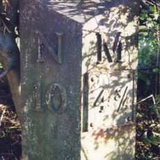
Milepost East Of Road 80 Metres South Of Swan Farmhouse
5.7 km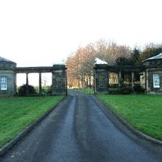
South Lodges, Gate Screen And Gates
3.4 km
Milepost, Wideopen
3.1 km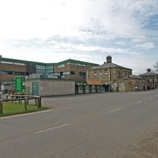
Caretaker's Flat, Brandling House
4.5 km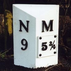
Milepost East Of Road 50 Metres North Of Blagdon North Lodge
4.3 km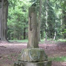
Medieval Cross Remains In North Wood
4 km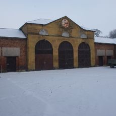
Stables And Coachhouse, North Of Woolsington Hall
2.6 km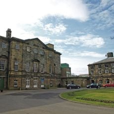
Gosforth House, Now Brandling House, Part Of High Gosforth Park Club
4.5 km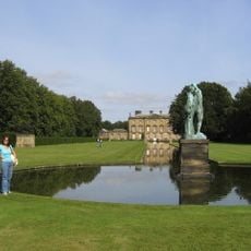
Canal With Basin Urns And Statue, To South Of Blagdon Hall
3.7 km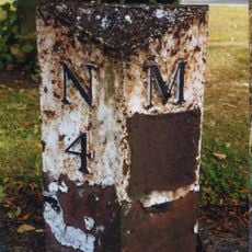
Milepost, Great North Road, Brunton Park
4.5 km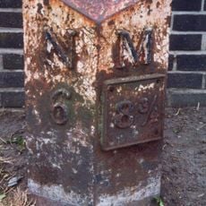
Milepost, Great North Road
3.2 kmVisited this place? Tap the stars to rate it and share your experience / photos with the community! Try now! You can cancel it anytime.
Discover hidden gems everywhere you go!
From secret cafés to breathtaking viewpoints, skip the crowded tourist spots and find places that match your style. Our app makes it easy with voice search, smart filtering, route optimization, and insider tips from travelers worldwide. Download now for the complete mobile experience.

A unique approach to discovering new places❞
— Le Figaro
All the places worth exploring❞
— France Info
A tailor-made excursion in just a few clicks❞
— 20 Minutes