Duke of Northumberland's River

Log in to your account

AroundUs is a community-driven map of interesting places, built by curious explorers like you. It grows with every review, story, and photo you share.
Connect to save your favorite spots, contribute locations, and create personalized routes.
Continue with Google
Continue with Apple
Continue with X
Continue with Facebook
Continue with email
By continuing, you accept our Terms and Conditions and our Privacy Policy
Create an account

Duke of Northumberland's River

Add to collection
Map
Suggest a change
Share

Duke of Northumberland's River, Artificial waterway system in West London, England

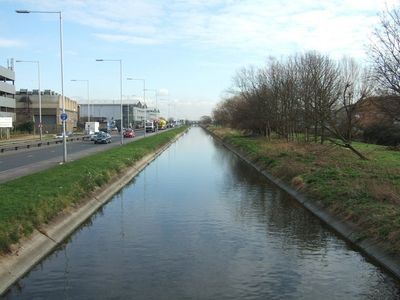
The Duke of Northumberland's River is an artificial waterway system in West London that diverts water from the River Colne through multiple districts toward the River Thames. The system consists of two separate sections connected by channels and controlled sluices that manage water flow between the Colne, Crane, and Thames rivers.

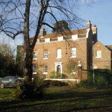
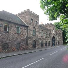
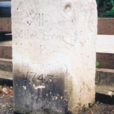
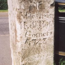
The western section was dug beginning in 1530 during Henry VIII's reign, when laborers cut a new watercourse from Longford to serve the king's properties. The eastern section came later, eventually linking the system to ornamental water features at Syon Park.

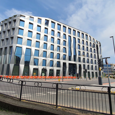
The waterway reflects how water engineering became essential to London's growth and shaped daily life in western districts. Walking along its banks, you can see how this system still serves the communities it was built to support.

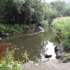
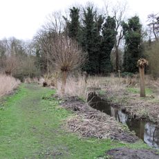
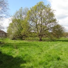
The best time to visit is during dry weather when the paths along the waterway are easiest to walk. The terrain varies between open ground and wooded sections, so wear shoes with good grip depending on which route you choose.

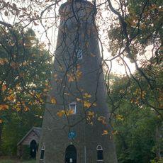
Hidden beneath Mill Plat is a sluice that feeds water directly into Syon Park's main lake, a structure few visitors realize exists. This underground engineering reveals how sophisticated water control was in earlier centuries.

Location: London Borough of Hillingdon

Location: London Borough of Hounslow

Location: London Borough of Richmond upon Thames

GPS coordinates: 51.45960,-0.40220

Latest update: December 10, 2025 16:24

Photos
Around this place
Show the full map
Reviews

Visited this place? Tap the stars to rate it and share your experience / photos with the community! Try now! You can cancel it anytime.

« Duke of Northumberland's River - Artificial waterway system in West London, England » is provided by Around Us (aroundus.com). Images and texts are derived from Wikimedia project under a Creative Commons license. You are allowed to copy, distribute, and modify copies of this page, under the conditions set by the license, as long as this note is clearly visible.

Discover hidden gems everywhere you go!

From secret cafés to breathtaking viewpoints, skip the crowded tourist spots and find places that match your style. Our app makes it easy with voice search, smart filtering, route optimization, and insider tips from travelers worldwide. Download now for the complete mobile experience.

Around Us App Screenshot

A unique approach to discovering new places

Le Figaro

All the places worth exploring

France Info

A tailor-made excursion in just a few clicks

20 Minutes