Fishponds, Residential suburb in northeast Bristol, England.
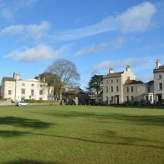
Fishponds is a residential suburb extending across northeast Bristol with Victorian housing estates, modern residential developments, and two significant public parks along the River Frome. The area spans a considerable territory with housing from different eras and green spaces woven throughout.
The name comes from water-filled quarry pits dating to the 18th century, when the area shifted from "Newe Pooles" in 1610 to "Fish Ponds" by 1734. This change reflected how the local economy moved from stone extraction to fishpond management.
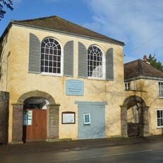
The neighborhood hosts a mix of Victorian-era pubs and contemporary micropubs that reflect both traditional and modern British social life. These gathering spots show how the community has adapted its social habits over time.
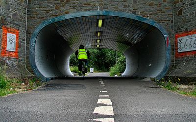
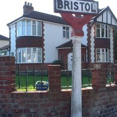
The area sits several miles northeast of central Bristol and connects to the city center by multiple bus routes. The main road has numerous shops and services, while the two parks offer accessible routes for walking and outdoor time.
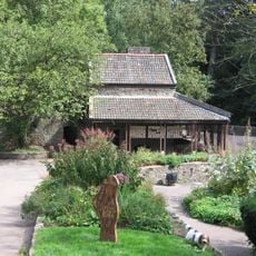
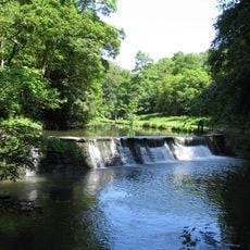
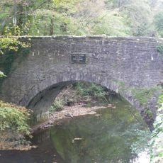
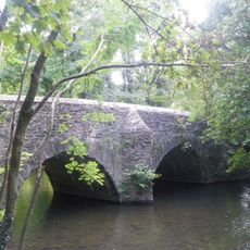
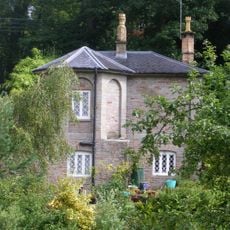
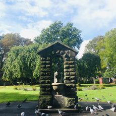
Oldbury Court Estate features woodland paths and riverside walks alongside a restored waterwheel at Snuff Mills that speaks to the area's industrial past. This combination of natural trails and heritage features often goes unnoticed by visitors exploring the suburb.
Location: City of Bristol
GPS coordinates: 51.48050,-2.52410
Latest update: December 7, 2025 20:24
The Dower House
2 km
Snuff Mills
1.3 km
Glenside Museum
1.4 km
St Matthias
600 m
Frome Valley Walkway
1.7 km
Oldbury Court Estate
954 m
St John the Baptist, Frenchay
1.6 km
Page Park
1.8 km
Church of St Mary
440 m
Christ Church
1.4 km
Frenchay Bridge
1.4 km
Unitarian Chapel
1.8 km
Fishponds War Memorial
339 m
Wickham Bridge
1.9 km
Group Of Three Tombs Approximately 2 Metres North West Of Church Of St Mary
457 m
Friends' Meeting House
2.1 km
Boundary Marker Located At The Junction Of Thicket Road And High Street
598 m
Glenside University Campus
1.4 km
Cleeve Wood Lodge
2 km
The Old House And Adjoining Coach House And Stables
1.8 km
Drinking Fountain In Fishponds Park
323 m
Downend Boy Scouts' War Memorial
1.7 km
Stapleton Mill, Snuff Mills Park
1.4 km
Turnpike Boundary Post On Cleeve Road Bridge
2 km
Numbers 11, 13 And 15 And Attached Garden Wall
387 m
Milestone, Fishponds Road, jct with Oakdene Avenue
1.9 km
Milestone, Fishponds Road, N side of park wall
319 m
Milestone, Downend Road; opp. jcn Christchurch Lane by No. 72B
1.3 kmVisited this place? Tap the stars to rate it and share your experience / photos with the community! Try now! You can cancel it anytime.
Discover hidden gems everywhere you go!
From secret cafés to breathtaking viewpoints, skip the crowded tourist spots and find places that match your style. Our app makes it easy with voice search, smart filtering, route optimization, and insider tips from travelers worldwide. Download now for the complete mobile experience.
A unique approach to discovering new places❞
— Le Figaro
All the places worth exploring❞
— France Info
A tailor-made excursion in just a few clicks❞
— 20 Minutes