Gorton Reservoirs, Water reservoirs in Manchester, England.
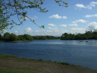
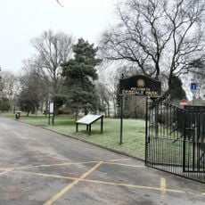
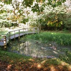
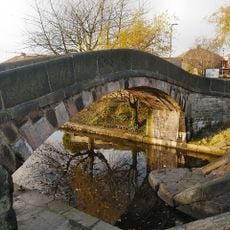
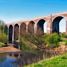
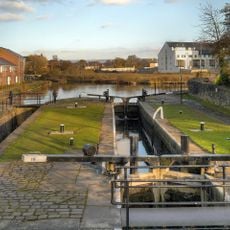
Gorton Reservoirs consist of two separate water bodies, Gorton Upper and Gorton Lower, divided by a stone bridge with multiple arches. Together they form a large water system now integrated into the 130-acre Debdale Park, offering views of water and green spaces.
Built between 1825 and 1826, the reservoirs supplied Manchester and surrounding areas with water for nearly 140 years. They were taken out of active service in 1963 as the city developed different water sources.
Today the reservoirs form part of Debdale Park and serve as a gathering place for sailing, canoeing, and walks among local residents. The setting reflects how Manchester transformed industrial infrastructure into a space for community recreation and leisure.
The site remains partially accessible to visitors despite ongoing renovation work managed by United Utilities, conducted in phases over time. Check current conditions before visiting, as access and facilities may change depending on which areas are under construction.
The reservoirs support populations of local wildlife and showcase engineering methods from the 1800s through their stone arches and architectural design. These structures represent an uncommon example of preserved Victorian water engineering now set within a modern urban park.
The community of curious travelers
AroundUs brings together thousands of curated places, local tips, and hidden gems, enriched daily by 60,000 contributors worldwide.